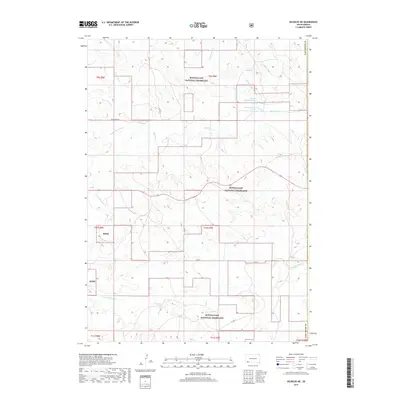
2017 Map of Oelrichs NE
USGS Topo · Published 2017About this map
Buffalo Gap National Grassland dominates this corner of Oglala Lakota County, where the plains are defined by an intricate network of seasonal drainage patterns. This 2017 survey reveals the hydrological structure of the high prairie, centered on the complex of Blacktail Creek and its various tributaries including the North Fork Blacktail Creek and South Branch Blacktail Creek. The map documents a sparsely settled landscape where local connectivity is maintained through routes like Black Tail Road and County Highway 1F. Geographic landmarks such as Middle Kneebone Draw and School Section Creek provide essential reference points for researchers studying land use and public grazing allotments. This detailed topographic study illustrates the transition from Fall River County into the national grassland, capturing the contemporary state of these expansive South Dakota rangelands.
Find a feature on this map
24 named features on this map. Tap any name to fly to it.
Don’t see what you’re looking for? This feature index may not catch every label — zoom into the map to look around manually.
Map Details
Editions of this 2017 Oelrichs NE Map
This is the sole edition of this map. No revisions or reprints were ever made.
Other maps of this area
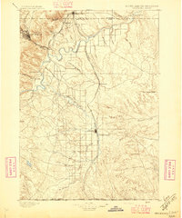
1896 · Oelrichs
USGS Topo · 1:125,000
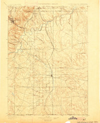
1900 · Oelrichs
USGS Topo · 1:125,000

1955 · Hot Springs
USGS Topo · 1:250,000
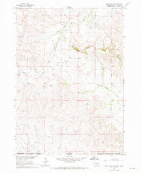
1967 · Slim Butte SW
USGS Topo · 1:24,000
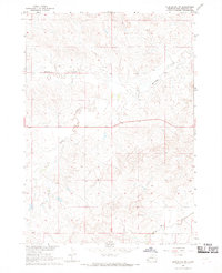
1967 · Slim Butte NW
USGS Topo · 1:24,000
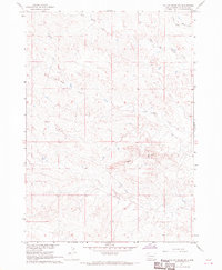
1967 · Willow Creek SW
USGS Topo · 1:24,000
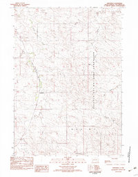
1982 · Smithwick
USGS Topo · 1:25,000
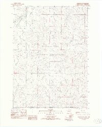
1982 · Oelrichs SW
USGS Topo · 1:25,000
1982 · Heinne Creek
USGS Topo · 1:25,000
1982 · Hay Canyon Butte
USGS Topo · 1:25,000