
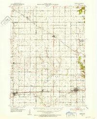
1951 Map of Ogden
USGS Topo · Published 1951About this map
Agricultural reaches of central Iowa at mid-century are defined by the convergence of major rail lines and a network of rural school districts and small prairie towns. Grand Junction and Ogden serve as primary hubs, with the latter showing a dense street grid and sewage disposal infrastructure. The landscape is deeply carved by Buttrick Creek and Beaver Creek, where the terrain transitions from the open fields of Lost Grove to the namesake glacial feature at Pilot Mound. Local genealogy is well-preserved through numerous rural landmarks, including the St Johns Ch, Amaqua Center Sch, and several isolated burial grounds such as Maas Cem and Benner Cem. Industrial activity is noted by several mine dumps and a Gravel Pit (Aban'd) near the Chicago North Western tracks.
Find a feature on this map
51 named features on this map. Tap any name to fly to it.
Don’t see what you’re looking for? This feature index may not catch every label — zoom into the map to look around manually.
Map Details
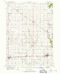
Editions of this 1951 Ogden Map
Other maps of this area

1911 · Madrid
USGS Topo · 1:62,500

1914 · Madrid
USGS Topo · 1:62,500

1916 · Boone
USGS Topo · 1:62,500

1923 · Lehigh
USGS Topo · 1:62,500

1950 · Perry
USGS Topo · 1:62,500

1951 · Perry
USGS Topo · 1:62,500

1954 · Bagley
USGS Topo · 1:62,500

1954 · Omaha
USGS Topo · 1:250,000

1954 · Waterloo
USGS Topo · 1:250,000

1954 · Fort Dodge
USGS Topo · 1:250,000