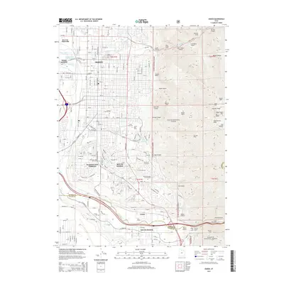
2014 Map of Ogden
USGS Topo · Published 2014About this map
Ogden and its neighboring communities occupy the narrow corridor between the Wasatch Range and the Weber River in this 2014 survey. The map details the dense urban grid extending from Marriott-Slaterville south through Washington Terrace and South Ogden toward the Weber Canyon entrance. The eastern half of the quadrangle is dominated by the steep, rising slopes of the Cache National Forest, featuring prominent peaks like Mt Ogden and Malans Peak. This vertical landscape is carved by numerous drainages, including Taylor Canyon, Waterfall Canyon, and Beus Canyon, which feed into the developed valley below.
Find a feature on this map
114 named features on this map. Tap any name to fly to it.
Don’t see what you’re looking for? This feature index may not catch every label — zoom into the map to look around manually.
Map Details
Editions of this 2014 Ogden Map
This is the sole edition of this map. No revisions or reprints were ever made.
Other maps of this area

1954 · Ogden
USGS Topo · 1:250,000

1954 · Brigham City
USGS Topo · 1:250,000

1955 · Ogden
USGS Topo · 1:24,000

1955 · Plain City
USGS Topo · 1:24,000

1955 · Clearfield
USGS Topo · 1:24,000

1955 · Roy
USGS Topo · 1:24,000

1955 · Peterson
USGS Topo · 1:24,000

1955 · Huntsville
USGS Topo · 1:24,000

1955 · North Ogden
USGS Topo · 1:24,000

1955 · Kaysville
USGS Topo · 1:24,000