
1954 Map of Ogden
USGS Topo · Published 1967About this map
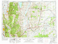
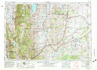
Ogden and the agricultural valleys of the Wasatch Range anchor this mid-century survey of northern Utah and southwestern Wyoming. The landscape is defined by its water systems, from the expansive Bear Lake in the north to the Pineview Reservoir and Causey Reservoir that support the growing settlements along the western front. Educational and spiritual life are grounded in the presence of Utah State University in Logan and the Abbey of Our Lady of the Holy Trinity near Huntsville.
Find a feature on this map
157 named features on this map. Tap any name to fly to it.
Don’t see what you’re looking for? This feature index may not catch every label — zoom into the map to look around manually.
Map Details
Editions of this 1954 Ogden Map
3 editions found
Other maps of this area

1885 · Salt Lake
USGS Topo · 1:250,000

1885 · Ashley
USGS Topo · 1:250,000

1885 · Uinta
USGS Topo · 1:250,000

1885 · Tooele Valley
USGS Topo · 1:250,000

1900 · Coalville
USGS Topo · 1:125,000

1901 · Hayden Peak
USGS Topo · 1:125,000

1903 · Hayden Peak
USGS Topo · 1:125,000

1903 · Coalville
USGS Topo · 1:125,000

1905 · Gilbert Peak
USGS Topo · 1:125,000

1906 · Gilbert Peak
USGS Topo · 1:125,000