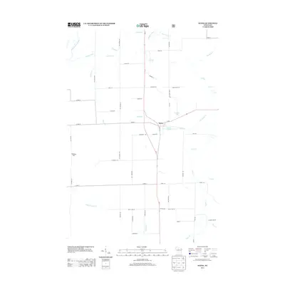
2013 Map of Ogema
USGS Topo · Published 2013About this map
Ogema serves as the primary hub of this Price County landscape, positioned where Wi-13 meets Wi-86 near the Ogema Millpond. The map reveals a rural structure defined by timber and water, with a dense network of roads such as Bjorklund Rd and Ten Crossing Rd providing access to outlying areas. Small settlements like Mackeys Spur along the northern corridor indicate the area's history of rail-side transit and logistics.
Find a feature on this map
56 named features on this map. Tap any name to fly to it.
Don’t see what you’re looking for? This feature index may not catch every label — zoom into the map to look around manually.
Map Details
Editions of this 2013 Ogema Map
This is the sole edition of this map. No revisions or reprints were ever made.
Other maps of this area

1941 · Phillips
USGS Topo · 1:48,000

1941 · Brantwood
USGS Topo · 1:48,000

1943 · Philliips
USGS Topo · 1:48,000

1943 · Brantwood
USGS Topo · 1:48,000

1944 · Ogema
USGS Topo · 1:48,000

1945 · Rib Lake
USGS Topo · 1:48,000

1947 · Rib Lake
USGS Topo · 1:48,000

1947 · Ogema
USGS Topo · 1:48,000

1949 · Ogema
USGS Topo · 1:48,000

1949 · Rib Lake
USGS Topo · 1:48,000