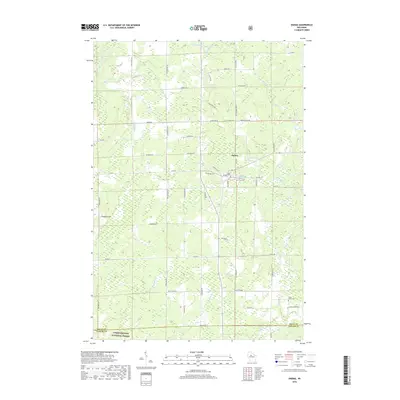
2018 Map of Ogema
USGS Topo · Published 2018About this map
Ogema serves as the primary settlement center on this Price County landscape, positioned near the waters of the Ogema Millpond. The map reveals a rural structure defined by family-named roads and remote watercourses, including the South Fork Jump River in the northwest and Black Brook to the south. Significant sections of the Chequamegon National Forest occupy the southwestern quadrant, illustrating the region's managed timber and recreational character.
Find a feature on this map
63 named features on this map. Tap any name to fly to it.
Don’t see what you’re looking for? This feature index may not catch every label — zoom into the map to look around manually.
Map Details
Editions of this 2018 Ogema Map
This is the sole edition of this map. No revisions or reprints were ever made.
Other maps of this area

1941 · Phillips
USGS Topo · 1:48,000

1941 · Brantwood
USGS Topo · 1:48,000

1943 · Philliips
USGS Topo · 1:48,000

1943 · Brantwood
USGS Topo · 1:48,000

1944 · Ogema
USGS Topo · 1:48,000

1945 · Rib Lake
USGS Topo · 1:48,000

1947 · Rib Lake
USGS Topo · 1:48,000

1947 · Ogema
USGS Topo · 1:48,000

1949 · Ogema
USGS Topo · 1:48,000

1949 · Rib Lake
USGS Topo · 1:48,000