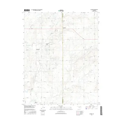
2016 Map of Oglesby
USGS Topo · Published 2016About this map
Oglesby and Glenoak anchor this rural landscape along the line between Washington and Nowata counties. The area is defined by its drainages, primarily the winding path of Hogshooter Creek and Curl Creek, which have shaped the local topography and placement of rural homesteads. This 2016 survey highlights a persistent pattern of family and community heritage through the presence of small burial grounds like Willey Cemetery and Curleyhead Cemetery. Modern land use is visible in the private aviation facilities at Flying Eagle Estates Airport and water management structures such as the Orville Guinn Number 1 Reservoir. A grid of county roads, including Smokerise Ranch Road and Moose Lodge Road, provides access to these remote Oklahoma ranchlands and creek bottoms.
Find a feature on this map
68 named features on this map. Tap any name to fly to it.
Don’t see what you’re looking for? This feature index may not catch every label — zoom into the map to look around manually.
Map Details
Editions of this 2016 Oglesby Map
This is the sole edition of this map. No revisions or reprints were ever made.
Other maps of this area

1901 · Nowata
USGS Topo · 1:125,000

1914 · Nowata
USGS Topo · 1:125,000

1954 · Tulsa
USGS Topo · 1:250,000

1958 · Tulsa
USGS Topo · 1:250,000

1963 · Tulsa
USGS Topo · 1:250,000

1970 · Bartlesville SE
USGS Topo · 1:24,000
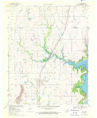
1970 · Talala
USGS Topo · 1:24,000
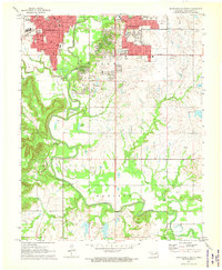
1971 · Bartlesville South
USGS Topo · 1:24,000
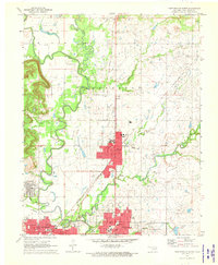
1971 · Bartlesville North
USGS Topo · 1:24,000

1972 · Blue Mound
USGS Topo · 1:24,000