
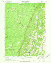
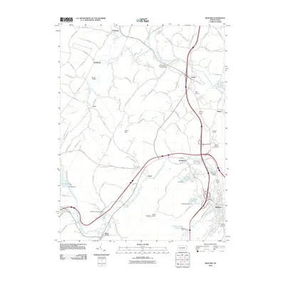
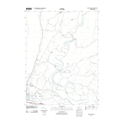
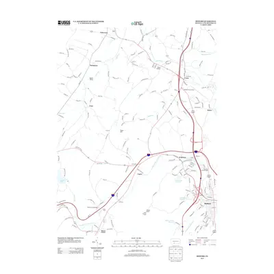
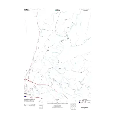
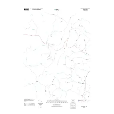
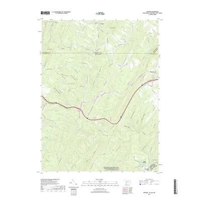
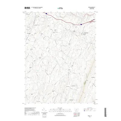
1971 Map of Ogletown
USGS Topo · Published 1994About this map
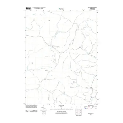
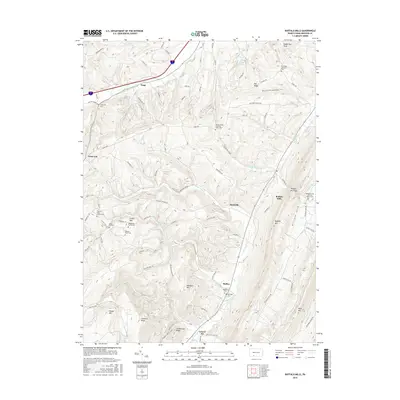
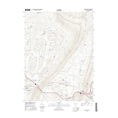
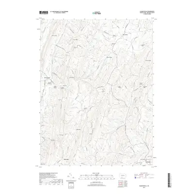
Gallitzin State Forest and State Game Lands No 26 dominate this high-elevation landscape along the border of Somerset and Bedford Counties. The map illustrates a transitional period of land use, where former industrial impacts are evident in several areas marked as Reclaimed Strip Mine and a singular Gas Well near Pot Ridge. This rugged terrain is crossed by notable long-distance paths including the Lost Turkey Trail and the John P Sayler Trail, which weave through the drainage basins of Paint Creek and Babcock Creek.
Find a feature on this map
35 named features on this map. Tap any name to fly to it.
Don’t see what you’re looking for? This feature index may not catch every label — zoom into the map to look around manually.
Map Details
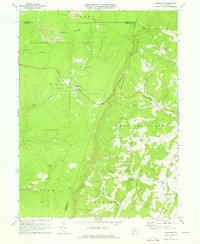
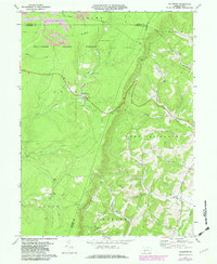
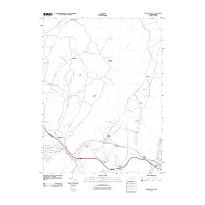
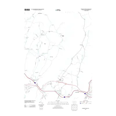
Editions of this 1971 Ogletown Map
4 editions found
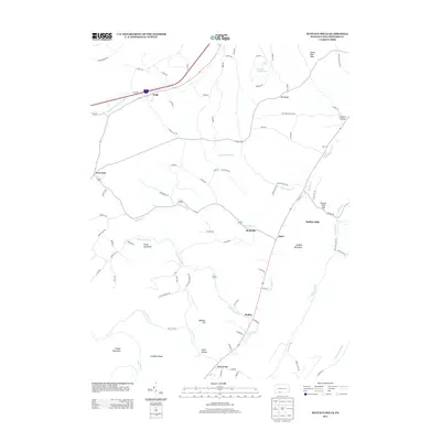
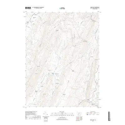
Historical Maps of Napier Township Through Time
76 maps found

1908 Bedford
Bedford County, PA

1910 Bedford
Bedford County, PA

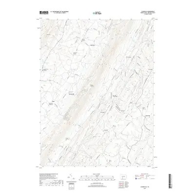
1927 Clearville
Bedford County, PA

1931 Clearville
Bedford County, PA

1944 Clearville
Bedford County, PA

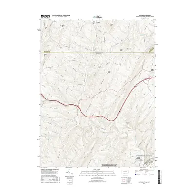
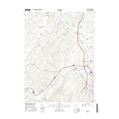
1950 Artemas
Bedford County, PA

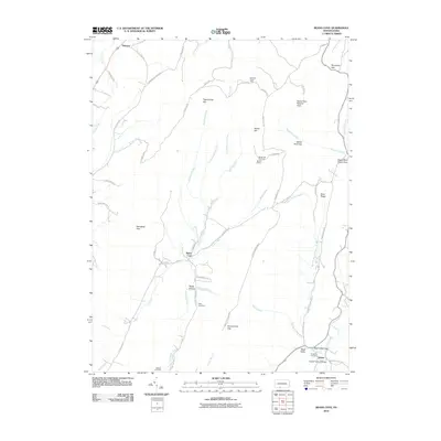
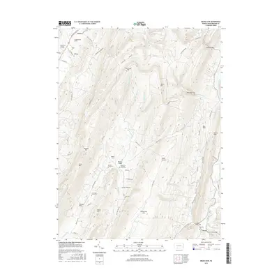
1967 Beans Cove
Bedford County, PA

1967 Buffalo Mills
Bedford County, PA

1967 Clearville
Bedford County, PA

1967 Mench
Bedford County, PA

1968 Chaneysville
Bedford County, PA

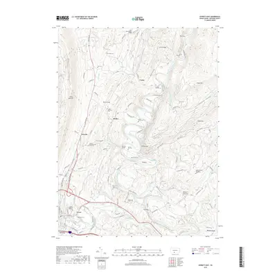
1968 Everett East
Bedford County, PA

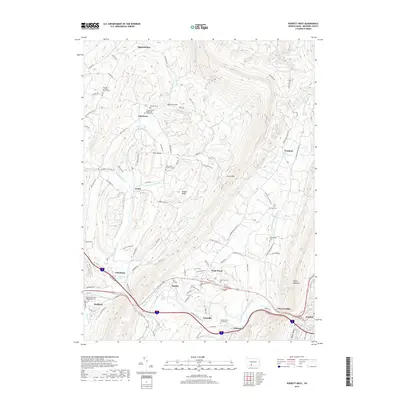
1968 Everett West
Bedford County, PA

1968 New Enterprise
Bedford County, PA

1971 Alum Bank
Bedford County, PA

1971 Bedford
Bedford County, PA
1971 Ogletown
Bedford County, PA

1977 Ogletown
Bedford County, PA

1994 Everett East
Bedford County, PA

1994 Mench
Bedford County, PA
2010 Beans Cove
Bedford County, PA
2010 Bedford
Bedford County, PA
2010 Buffalo Mills
Bedford County, PA
2010 Chaneysville
Bedford County, PA
2010 Clearville
Bedford County, PA
2010 Everett East
Bedford County, PA
2010 Everett West
Bedford County, PA
2010 Mench
Bedford County, PA
2010 New Enterprise
Bedford County, PA
2010 Ogletown
Bedford County, PA
2011 Artemas
Bedford County, PA
2013 Artemas
Bedford County, PA
2013 Beans Cove
Bedford County, PA
2013 Bedford
Bedford County, PA
2013 Buffalo Mills
Bedford County, PA
2013 Chaneysville
Bedford County, PA
2013 Clearville
Bedford County, PA
2013 Everett East
Bedford County, PA
2013 Everett West
Bedford County, PA
2013 Mench
Bedford County, PA
2013 New Enterprise
Bedford County, PA
2013 Ogletown
Bedford County, PA
2016 Artemas
Bedford County, PA
2016 Beans Cove
Bedford County, PA
2016 Bedford
Bedford County, PA
2016 Buffalo Mills
Bedford County, PA
2016 Chaneysville
Bedford County, PA
2016 Clearville
Bedford County, PA
2016 Everett East
Bedford County, PA
2016 Everett West
Bedford County, PA
2016 Mench
Bedford County, PA
2016 New Enterprise
Bedford County, PA
2016 Ogletown
Bedford County, PA
2019 Artemas
Bedford County, PA
2019 Beans Cove
Bedford County, PA
2019 Bedford
Bedford County, PA
2019 Buffalo Mills
Bedford County, PA
2019 Chaneysville
Bedford County, PA
2019 Clearville
Bedford County, PA
2019 Everett East
Bedford County, PA
2019 Everett West
Bedford County, PA
2019 Mench
Bedford County, PA
2019 New Enterprise
Bedford County, PA
2019 Ogletown
Bedford County, PA

2023 Alum Bank
Bedford County, PA

2023 Artemas
Bedford County, PA

2023 Beans Cove
Bedford County, PA

2023 Bedford
Bedford County, PA

2023 Buffalo Mills
Bedford County, PA

2023 Chaneysville
Bedford County, PA

2023 Clearville
Bedford County, PA

2023 Everett East
Bedford County, PA

2023 Everett West
Bedford County, PA

2023 Mench
Bedford County, PA

2023 New Enterprise
Bedford County, PA

2023 Ogletown
Bedford County, PA