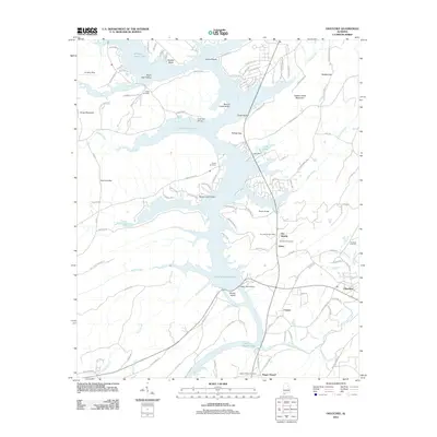
2012 Map of Ohatchee
USGS Topo · Published 2012About this map
The H Neely Henry Lake reservoir dominates the landscape of this area, following the serpentine path of the Coosa River valley. This 2012 survey illustrates the transformation of the riverine environment into a recreational and industrial hub, anchored by the H Neely Henry Dam and the downstream reach toward Logan Martin Lake. The geography is defined by a mix of residential lakeside clusters like Green Valley and Point Jones alongside long-standing local landmarks.
Find a feature on this map
114 named features on this map. Tap any name to fly to it.
Don’t see what you’re looking for? This feature index may not catch every label — zoom into the map to look around manually.
Map Details
Editions of this 2012 Ohatchee Map
This is the sole edition of this map. No revisions or reprints were ever made.
Other maps of this area

1889 · Springville
USGS Topo · 1:125,000

1892 · Springville
USGS Topo · 1:125,000

1900 · Anniston
USGS Topo · 1:125,000

1947 · Cox Gap
USGS Topo · 1:24,000

1947 · Dunaway Mountain
USGS Topo · 1:24,000

1947 · Ragland
USGS Topo · 1:62,500

1947 · Ragland
USGS Topo · 1:24,000

1947 · Glencoe
USGS Topo · 1:24,000

1947 · Wellington
USGS Topo · 1:24,000

1947 · Francis Mill
USGS Topo · 1:24,000