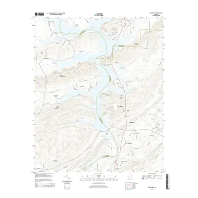
2014 Map of Ohatchee
USGS Topo · Published 2014About this map
The Coosa River dominates this topographical landscape, marking the tri-county intersection of Etowah, Calhoun, and St. Clair. The waterway expands significantly into H Neely Henry Lake, a reservoir that has reshaped the valley's character around Ten Islands and Woods Island. Settlement patterns follow the river's course, with established communities like Ohatchee and Riddles Bend situated along its banks. The topography is defined by the parallel ridges of the Beaver Creek Mountains and Shoal Creek Mountains, which create distinct valleys such as Beaver Creek Valley. For family historians, the presence of several established burial grounds including Ohatchee Cem and Ragan Chapel Cem, alongside the Cochran Springs site, provides essential geographical markers for tracing lineage near Francis and Ragland.
Find a feature on this map
128 named features on this map. Tap any name to fly to it.
Don’t see what you’re looking for? This feature index may not catch every label — zoom into the map to look around manually.
Map Details
Editions of this 2014 Ohatchee Map
This is the sole edition of this map. No revisions or reprints were ever made.
Other maps of this area

1889 · Springville
USGS Topo · 1:125,000

1892 · Springville
USGS Topo · 1:125,000

1900 · Anniston
USGS Topo · 1:125,000

1947 · Cox Gap
USGS Topo · 1:24,000

1947 · Dunaway Mountain
USGS Topo · 1:24,000

1947 · Ragland
USGS Topo · 1:62,500

1947 · Ragland
USGS Topo · 1:24,000

1947 · Glencoe
USGS Topo · 1:24,000

1947 · Wellington
USGS Topo · 1:24,000

1947 · Francis Mill
USGS Topo · 1:24,000