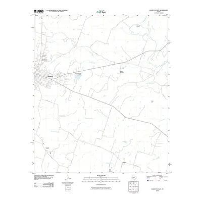
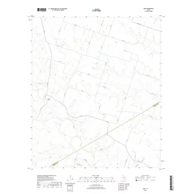
1956 Map of Ohio
USGS Topo · Published 1992About this map
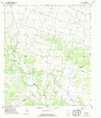
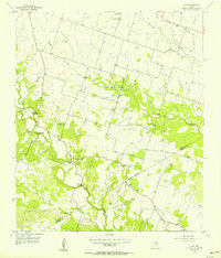
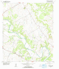
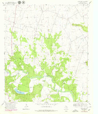
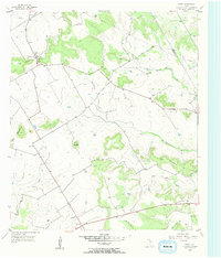
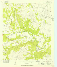
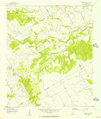
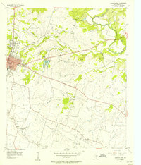
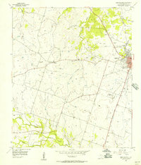
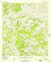
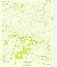
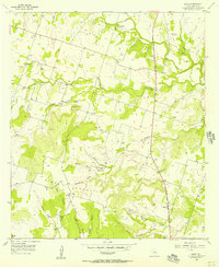
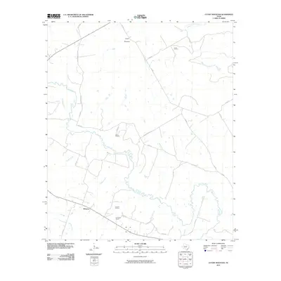
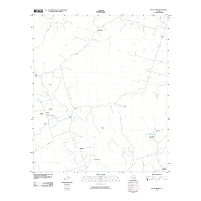
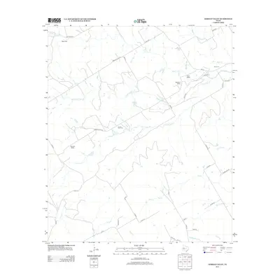
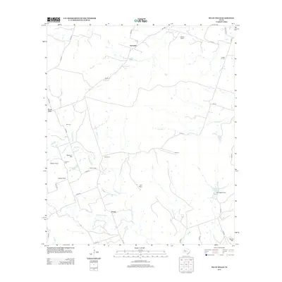
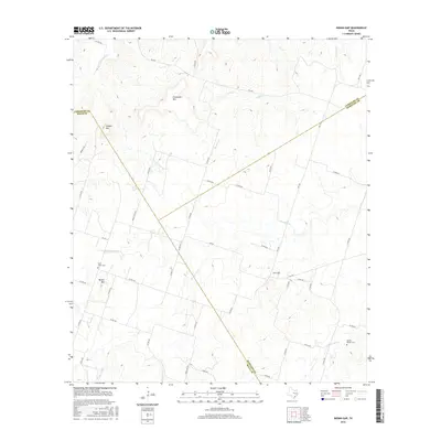
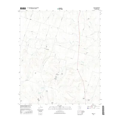
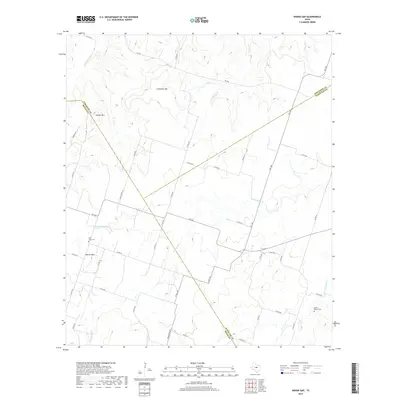
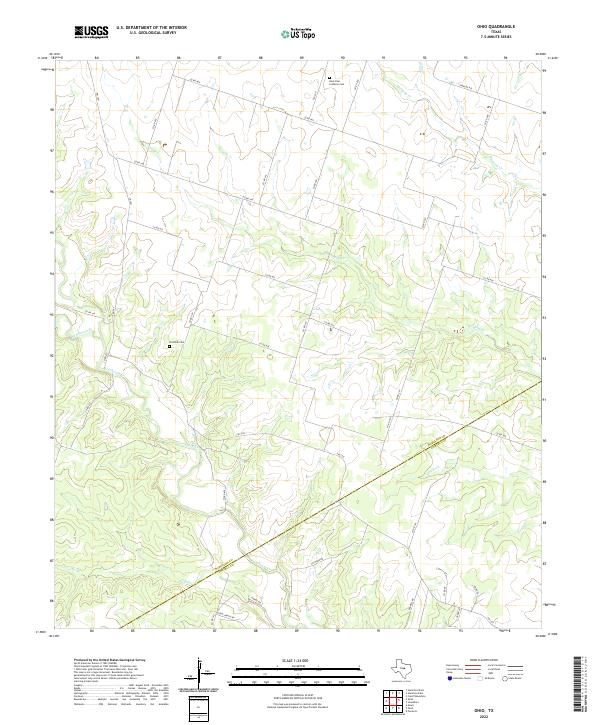
Ohio sits near the crossing of Cowhouse Creek, serving as a central point in this mid-century rural landscape along the Hamilton and Coryell County line. The map captures a transition in local infrastructure, most notably the presence of an Old Railroad Grade in the northeast and several discontinued community hubs like St Pauls Sch and Liberty Sch. These abandoned schools, alongside St Pauls Ch, Live Oak Ch, and the Live Oak Cem, provide significant markers for genealogists tracing family footprints in this central Texas region. Water crossings were clearly vital to local travel, evidenced by named landmarks such as Ballard Crossing, Slab Crossing, and Jeffries Bridge. The terrain is further defined by the drainage systems of Mustang Creek, Plum Creek, and the Dry Fork.
Find a feature on this map
18 named features on this map. Tap any name to fly to it.
Don’t see what you’re looking for? This feature index may not catch every label — zoom into the map to look around manually.
Map Details
Editions of this 1956 Ohio Map
2 editions found
Historical Maps of Slab Crossing Through Time
74 maps found
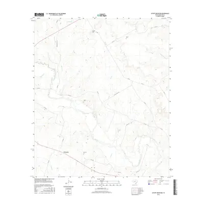
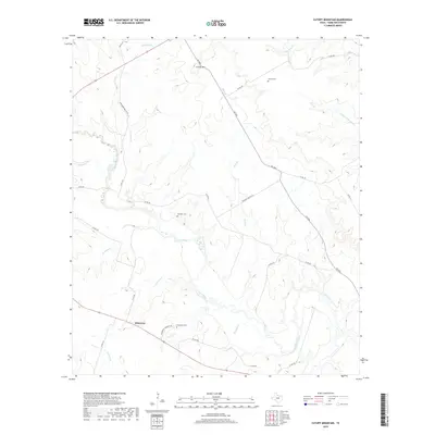
1956 Cutoff Mtn
Hamilton County, TX
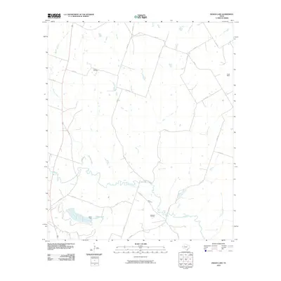
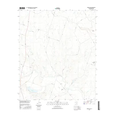
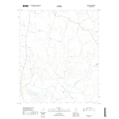
1956 Eidson Lake
Hamilton County, TX
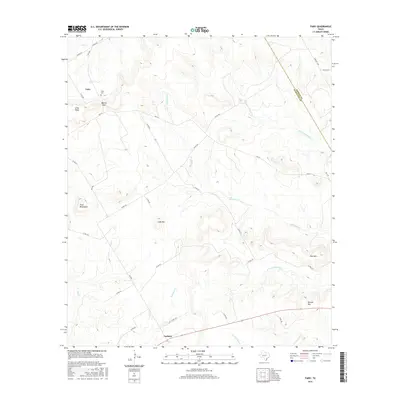
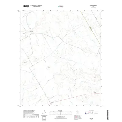
1956 Fairy
Hamilton County, TX
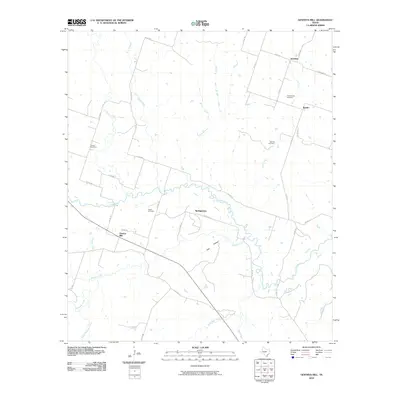
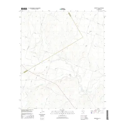
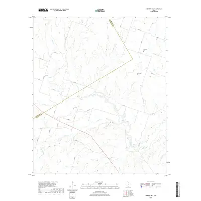
1956 Gentrys Mill
Hamilton County, TX
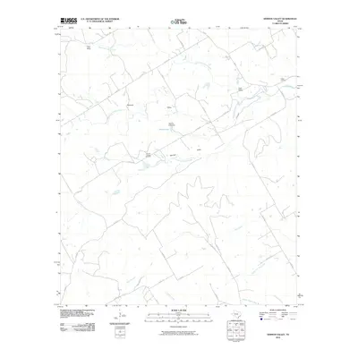
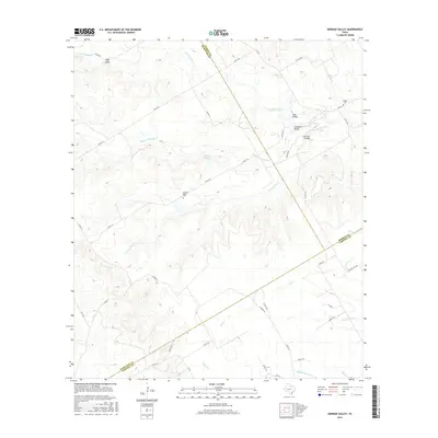
1956 German Valley
Hamilton County, TX
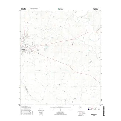
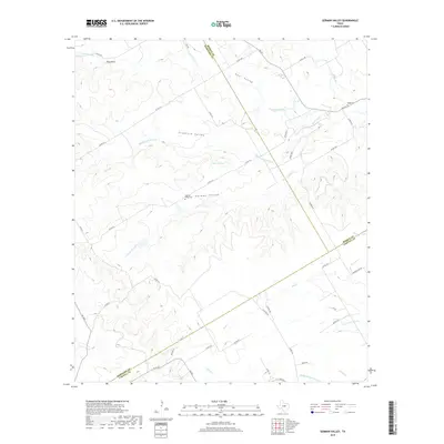
1956 Hamilton East
Hamilton County, TX
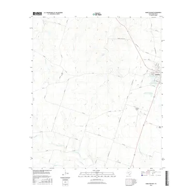
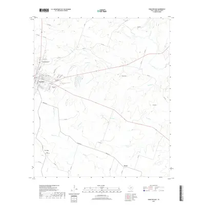
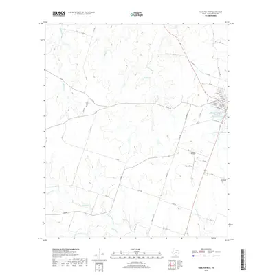
1956 Hamilton West
Hamilton County, TX
1956 Indian Gap
Hamilton County, TX
1956 Jonesboro
Hamilton County, TX
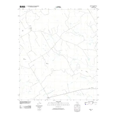
1956 Ohio
Hamilton County, TX
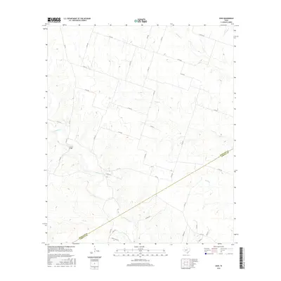
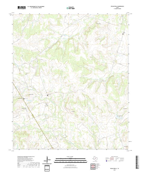
1956 Pecan Wells
Hamilton County, TX
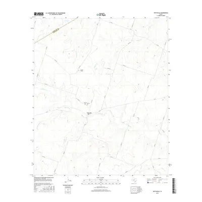
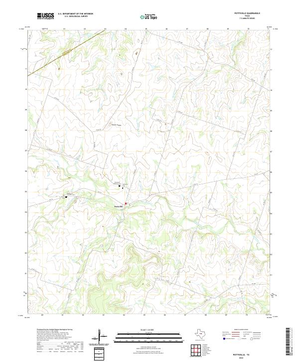
1956 Pottsville
Hamilton County, TX
1956 Pottsville
Hamilton County, TX
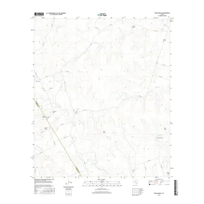
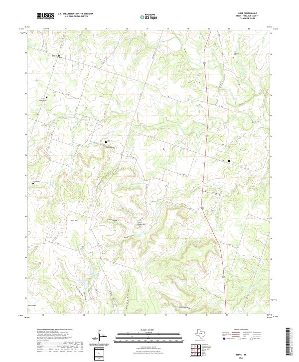
1956 Shive
Hamilton County, TX
2010 Cutoff Mountain
Hamilton County, TX
2010 Eidson Lake
Hamilton County, TX
2010 Fairy
Hamilton County, TX
2010 Gentrys Mill
Hamilton County, TX
2010 German Valley
Hamilton County, TX
2010 Hamilton East
Hamilton County, TX
2010 Hamilton West
Hamilton County, TX
2010 Indian Gap
Hamilton County, TX
2010 Ohio
Hamilton County, TX
2010 Pecan Wells
Hamilton County, TX
2010 Pottsville
Hamilton County, TX

2010 Shive
Hamilton County, TX
2012 Cutoff Mountain
Hamilton County, TX

2012 Fairy
Hamilton County, TX
2012 Gentrys Mill
Hamilton County, TX
2012 German Valley
Hamilton County, TX
2012 Hamilton East
Hamilton County, TX
2012 Hamilton West
Hamilton County, TX

2012 Indian Gap
Hamilton County, TX
2012 Ohio
Hamilton County, TX
2012 Pecan Wells
Hamilton County, TX
2012 Pottsville
Hamilton County, TX
2012 Shive
Hamilton County, TX
2013 Eidson Lake
Hamilton County, TX
2016 Cutoff Mountain
Hamilton County, TX
2016 Eidson Lake
Hamilton County, TX
2016 Fairy
Hamilton County, TX
2016 Gentrys Mill
Hamilton County, TX
2016 German Valley
Hamilton County, TX
2016 Hamilton East
Hamilton County, TX
2016 Hamilton West
Hamilton County, TX
2016 Indian Gap
Hamilton County, TX
2016 Ohio
Hamilton County, TX
2016 Pecan Wells
Hamilton County, TX
2016 Pottsville
Hamilton County, TX
2016 Shive
Hamilton County, TX
2019 Cutoff Mountain
Hamilton County, TX
2019 Eidson Lake
Hamilton County, TX
2019 Fairy
Hamilton County, TX
2019 Gentrys Mill
Hamilton County, TX
2019 German Valley
Hamilton County, TX
2019 Hamilton East
Hamilton County, TX
2019 Hamilton West
Hamilton County, TX
2019 Indian Gap
Hamilton County, TX
2019 Ohio
Hamilton County, TX
2019 Pecan Wells
Hamilton County, TX
2019 Pottsville
Hamilton County, TX
2019 Shive
Hamilton County, TX
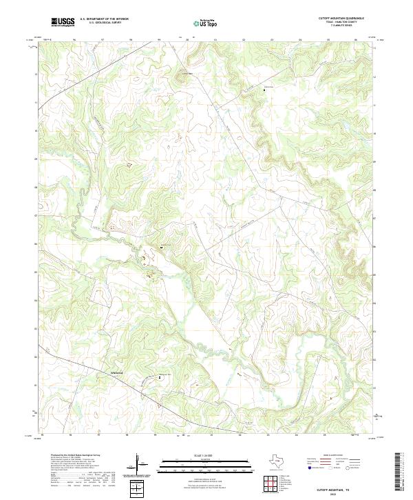
2022 Cutoff Mountain
Hamilton County, TX
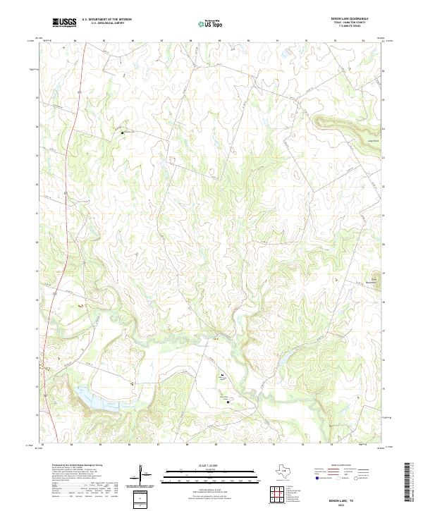
2022 Eidson Lake
Hamilton County, TX
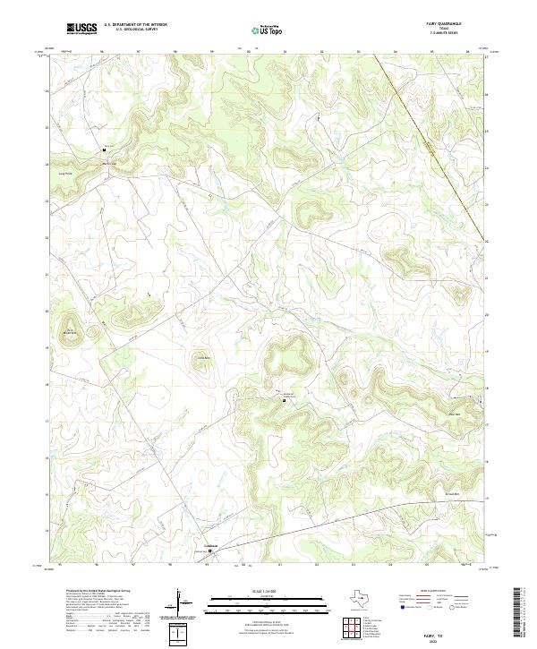
2022 Fairy
Hamilton County, TX
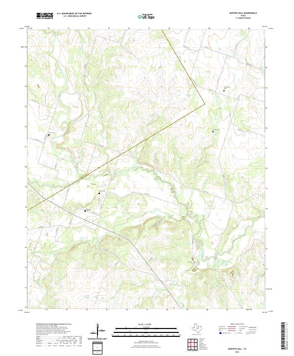
2022 Gentrys Mill
Hamilton County, TX
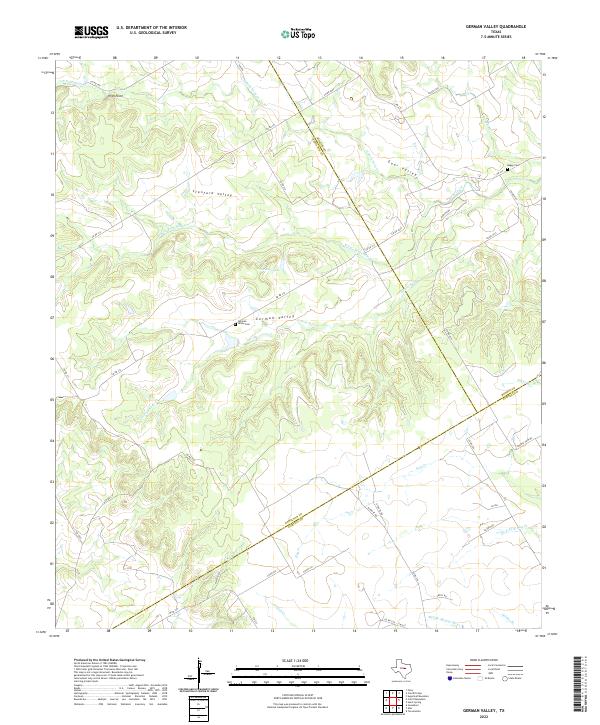
2022 German Valley
Hamilton County, TX
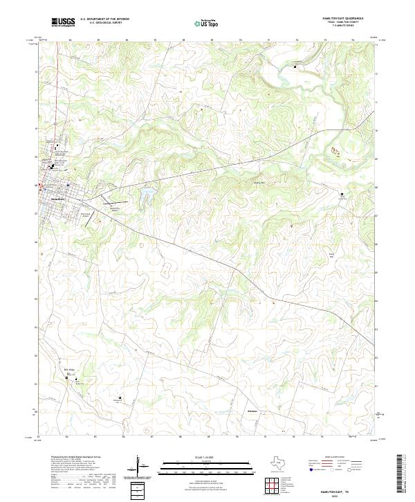
2022 Hamilton East
Hamilton County, TX
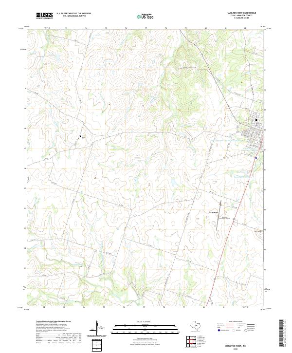
2022 Hamilton West
Hamilton County, TX
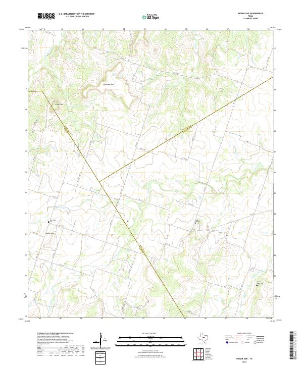
2022 Indian Gap
Hamilton County, TX
2022 Ohio
Hamilton County, TX
2022 Pecan Wells
Hamilton County, TX
2022 Pottsville
Hamilton County, TX
2022 Shive
Hamilton County, TX