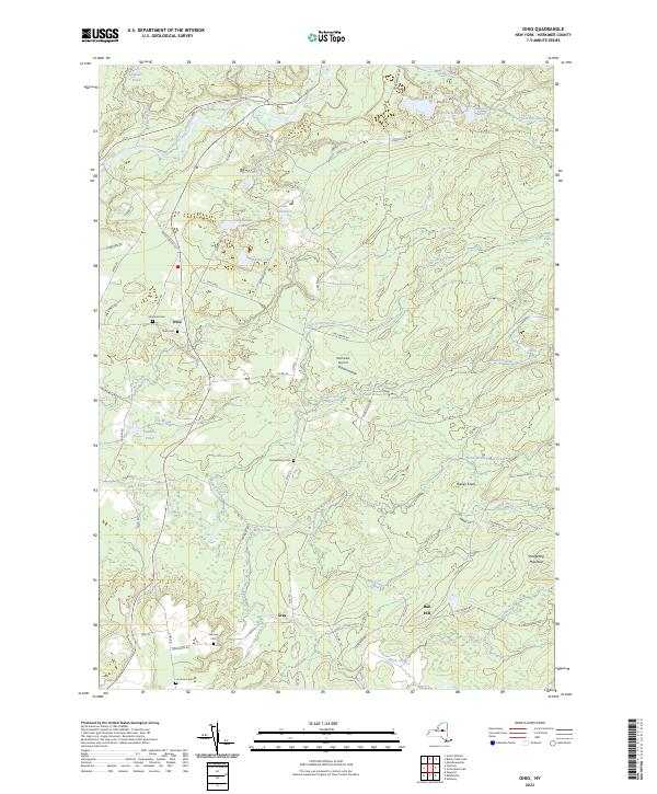
2023 Map of Ohio
USGS Topo · Published 2023About this map
West Canada Creek and its complex network of tributaries define this pocket of the Adirondack foothills, where small settlements like Ohio and Gray persist amidst a landscape heavily shaped by water and elevation. The topography is marked by distinctive rises such as Breezy Knoll and Bull Hill, while the hydrography is characterized by numerous small lakes and ponds, including Figert Lake, Curtis Lake, and Lake Tamarack. The map reveals a high density of small family or community burial grounds, such as McIntosh Cem, Ohio Cem, and Brondstatter Cem, which offer significant value for genealogists tracing local lineage in Herkimer County.
Find a feature on this map
76 named features on this map. Tap any name to fly to it.
Don’t see what you’re looking for? This feature index may not catch every label — zoom into the map to look around manually.
Map Details
Editions of this 2023 Ohio Map
This is the sole edition of this map. No revisions or reprints were ever made.
Other maps of this area

1897 · Remsen
USGS Topo · 1:62,500

1898 · Utica
USGS Topo · 1:62,500

1900 · Little Falls
USGS Topo · 1:62,500

1900 · Utica
USGS Topo · 1:62,500

1900 · Remsen
USGS Topo · 1:62,500

1900 · Wilmurt
USGS Topo · 1:62,500

1902 · Wilmurt
USGS Topo · 1:62,500

1903 · Little Falls
USGS Topo · 1:62,500

1939 · Little Falls
USGS Topo · 1:62,500

1943 · Newport
USGS Topo · 1:24,000