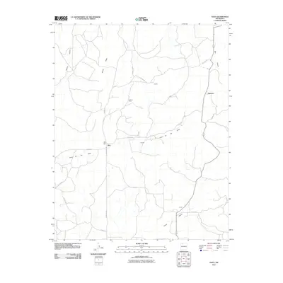
2010 Map of Ojito
USGS Topo · Published 2010About this map
Ojito and its surrounding high-desert canyons are the focal point of this Rio Arriba County landscape in the early 21st century. The map centers on the small settlement of Ojito and the Ojito Post Office, located at the junction of several rural routes including County Rd 402 and Co Road 401. The geography is defined by deep drainages like Sleeper Canyon and the winding Cañon de los Ojitos, while Tapicito Ridge provides a high-ground spine to the west. Evidence of longstanding ranching and small-scale habitation appears at Huffman Ranch and the community of Bechdol. Further south, the terrain descends into Gavilan Canyon near the settlement of Gavilan, illustrating the sparse but deliberate distribution of water and travel ways across this part of northern New Mexico.
Find a feature on this map
22 named features on this map. Tap any name to fly to it.
Don’t see what you’re looking for? This feature index may not catch every label — zoom into the map to look around manually.
Map Details
Editions of this 2010 Ojito Map
This is the sole edition of this map. No revisions or reprints were ever made.
Other maps of this area
1889 · Largo
USGS Topo · 1:250,000
1895 · Largo
USGS Topo · 1:250,000
1909 · Gallina
USGS Topo · 1:125,000

1954 · Aztec
USGS Topo · 1:250,000
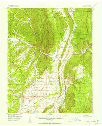
1955 · Llaves
USGS Topo · 1:62,500
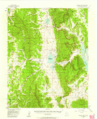
1955 · Boulder Lake
USGS Topo · 1:62,500
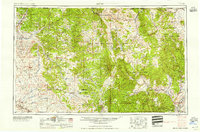
1958 · Aztec
USGS Topo · 1:250,000
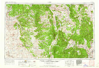
1962 · Aztec
USGS Topo · 1:250,000
1963 · Schmitz Ranch
USGS Topo · 1:24,000
1963 · Lindrith
USGS Topo · 1:24,000