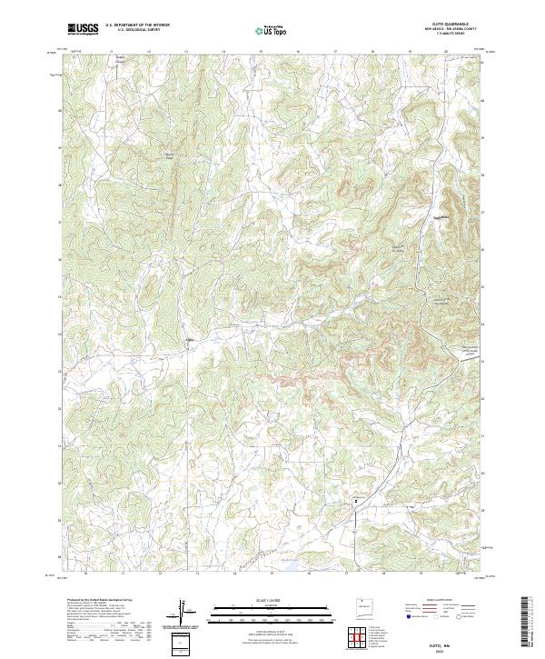
2023 Map of Ojito
USGS Topo · Published 2023About this map
Tapicito Ridge and the surrounding high country of Rio Arriba County define this 2023 landscape, where the settlements of Ojito and Tapicitoes sit amidst a network of canyons. The drainage patterns of Gavilan Canyon and Bear Canyon reveal a geography shaped by seasonal water flow, culminating in features like Rucker Lake and the deep incisions of Cañon de los Ojitos. This modern survey illustrates how traditional land use persists in northern New Mexico, with a sparse road network including Co RD 402 and Co RD 398 connecting isolated ranching or residential areas. Researchers can locate Gavilan Cem in the southern portion of the quadrangle, while aviation history is represented by the uniquely named Murrow Field on the Divide Airport near the eastern boundary.
Find a feature on this map
24 named features on this map. Tap any name to fly to it.
Don’t see what you’re looking for? This feature index may not catch every label — zoom into the map to look around manually.
Map Details
Editions of this 2023 Ojito Map
This is the sole edition of this map. No revisions or reprints were ever made.
Other maps of this area

1889 · Largo
USGS Topo · 1:250,000

1895 · Largo
USGS Topo · 1:250,000

1909 · Gallina
USGS Topo · 1:125,000

1954 · Aztec
USGS Topo · 1:250,000

1955 · Llaves
USGS Topo · 1:62,500

1955 · Boulder Lake
USGS Topo · 1:62,500

1958 · Aztec
USGS Topo · 1:250,000

1962 · Aztec
USGS Topo · 1:250,000

1963 · Schmitz Ranch
USGS Topo · 1:24,000

1963 · Lindrith
USGS Topo · 1:24,000