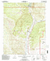
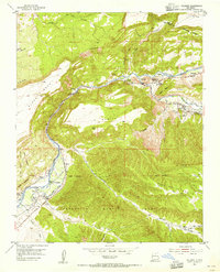
1995 Map of Ojo Caliente
USGS Topo · Published 1998About this map
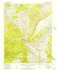
Rio Ojo Caliente flows southward through this landscape, carving a fertile corridor between the high peaks of Cerro Colorado and the La Madera Mountains. This mid-1990s survey documents a sequence of traditional settlements along the river's edge, from Ojo Caliente down to Gallegos, Duranes, and Gavilan. The infrastructure of the community is clearly visible, including the Mesa Vista School, a local Swimming Pool, and the essential Ojo Caliente Ditch that manages the valley's water.
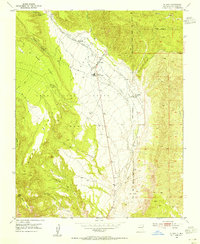
Find a feature on this map
41 named features on this map. Tap any name to fly to it.
Don’t see what you’re looking for? This feature index may not catch every label — zoom into the map to look around manually.
Map Details
Editions of this 1995 Ojo Caliente Map
This is the sole edition of this map. No revisions or reprints were ever made.
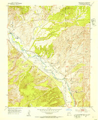
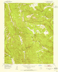
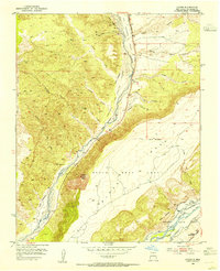
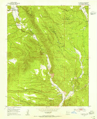
Other maps of this area

1918 · Abiquiu
USGS Topo · 1:125,000
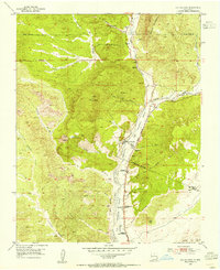
1953 · Medanales
USGS Topo · 1:24,000
1953 · Valle Grande Peak
USGS Topo · 1:24,000
1953 · Lyden
USGS Topo · 1:24,000
1953 · Velarde
USGS Topo · 1:24,000
1953 · El Rito
USGS Topo · 1:24,000
1953 · La Madera
USGS Topo · 1:24,000
1953 · Ojo Caliente
USGS Topo · 1:24,000
1953 · San Juan Pueblo
USGS Topo · 1:62,500

1954 · Raton
USGS Topo · 1:250,000