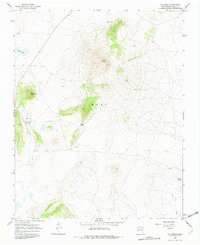
1966 Map of Ojo Feliz
USGS Topo · Published 1982About this map
Ojo Feliz serves as the primary settlement in this mid-1960s topographic study of the New Mexico highlands. The landscape is defined by volcanic features and high-altitude water sources, anchored by the prominent peak of Cerro Pelon and the ridgeline of La Cuchilla. The presence of small lakes such as Apache Lake, Sand Lake, and the larger Laguna Salada suggests the vital importance of seasonal water in this arid environment, further emphasized by the labeling of the Pelon Windmill.
Find a feature on this map
13 named features on this map. Tap any name to fly to it.
Don’t see what you’re looking for? This feature index may not catch every label — zoom into the map to look around manually.
Map Details
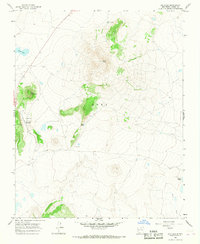
Editions of this 1966 Ojo Feliz Map
2 editions found
Other maps of this area

1889 · Las Vegas
USGS Topo · 1:125,000

1891 · Las Vegas
USGS Topo · 1:125,000

1892 · Watrous
USGS Topo · 1:125,000

1893 · Las Vegas
USGS Topo · 1:125,000

1894 · Watrous
USGS Topo · 1:125,000

1954 · Santa Fe
USGS Topo · 1:250,000

1954 · Raton
USGS Topo · 1:250,000

1958 · Raton
USGS Topo · 1:250,000

1958 · Santa Fe
USGS Topo · 1:250,000

1963 · Fort Union
USGS Topo · 1:24,000