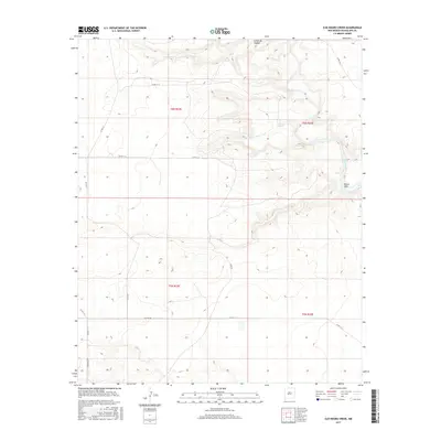
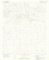
2017 Map of Ojo Negro Creek
USGS Topo · Published 2017About this map
The Pecos River carves a winding path through this corner of Guadalupe County, defining the eastern reach of a landscape marked by deep drainages and isolated landmarks. The river's course is punctuated by the Borica Dam, a significant water-control feature in this arid environment. To the west, the Ojo Negro Creek and the springs at Ojo Negro represent critical water sources that likely dictated the placement of early ranching and grazing boundaries. The terrain is further defined by Cañon de Hughes in the north, while a network of county roads such as Azul Rd and Falcon Rd provide the primary access through the open range. This 2017 survey reflects the enduring character of eastern New Mexico, where the infrastructure is largely concentrated around the rare permanent water of the Pecos basin.
Find a feature on this map
17 named features on this map. Tap any name to fly to it.
Don’t see what you’re looking for? This feature index may not catch every label — zoom into the map to look around manually.
Map Details
Editions of this 2017 Ojo Negro Creek Map
This is the sole edition of this map. No revisions or reprints were ever made.
Other maps of this area

1954 · Fort Sumner
USGS Topo · 1:250,000

1958 · Fort Sumner
USGS Topo · 1:250,000
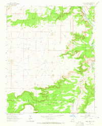
1963 · Puerto Creek
USGS Topo · 1:24,000
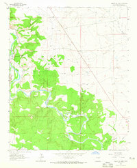
1963 · Puerto De Luna
USGS Topo · 1:24,000
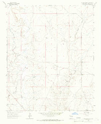
1964 · Fallon Ranch
USGS Topo · 1:24,000
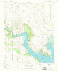
1966 · Gibbons Ranch
USGS Topo · 1:24,000
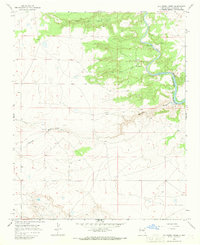
1966 · Ojo Negro Creek
USGS Topo · 1:24,000
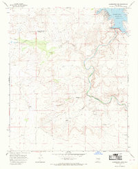
1966 · Alamogordo Dam
USGS Topo · 1:24,000
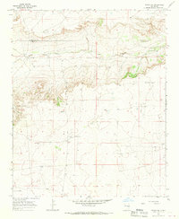
1966 · Borica SW
USGS Topo · 1:24,000
1966 · Cooper Ranch
USGS Topo · 1:24,000