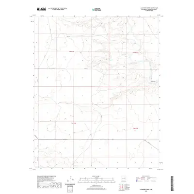
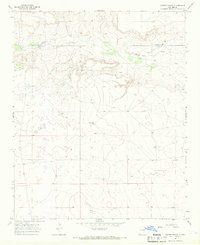
2020 Map of Ojo Negro Creek
USGS Topo · Published 2020About this map
The Pecos River carves through this portion of Guadalupe County, serving as the primary hydrological anchor for the high plains landscape. Near its banks, the Borica Dam manages the flow south of the settlement of Borica, where the terrain begins to transition into the draws and canyons characteristic of the region. The ephemeral Ojo Negro Cr winds eastward toward the river, passing the small locality of Ojo Negro.
Find a feature on this map
20 named features on this map. Tap any name to fly to it.
Don’t see what you’re looking for? This feature index may not catch every label — zoom into the map to look around manually.
Map Details
Editions of this 2020 Ojo Negro Creek Map
This is the sole edition of this map. No revisions or reprints were ever made.
Other maps of this area

1954 · Fort Sumner
USGS Topo · 1:250,000

1958 · Fort Sumner
USGS Topo · 1:250,000
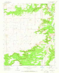
1963 · Puerto Creek
USGS Topo · 1:24,000
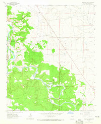
1963 · Puerto De Luna
USGS Topo · 1:24,000
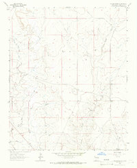
1964 · Fallon Ranch
USGS Topo · 1:24,000
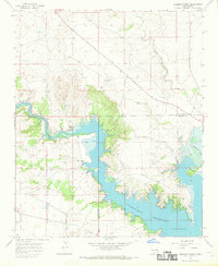
1966 · Gibbons Ranch
USGS Topo · 1:24,000
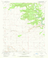
1966 · Ojo Negro Creek
USGS Topo · 1:24,000
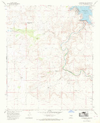
1966 · Alamogordo Dam
USGS Topo · 1:24,000
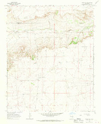
1966 · Borica SW
USGS Topo · 1:24,000
1966 · Cooper Ranch
USGS Topo · 1:24,000