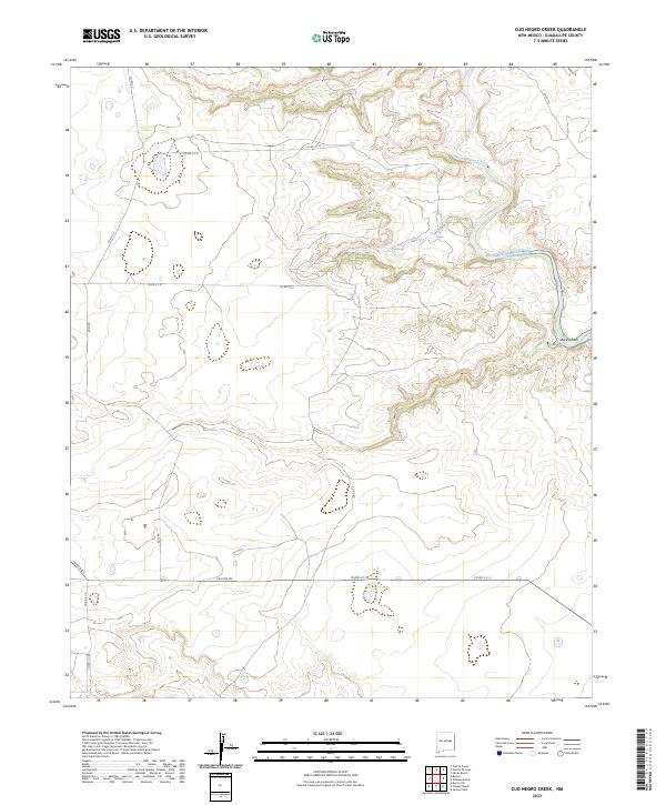
2023 Map of Ojo Negro Creek
USGS Topo · Published 2023About this map
The Pecos River carves a deep path through this reach of Guadalupe County, New Mexico, where the high mesa landscape is defined by its intermittent drainage systems and sparse settlement. The small locality of Ojo Negro is situated near the confluence of Ojo Negro Creek and the river, marking a point of long-standing human presence in an arid environment. Further downstream, the river is managed by the Borica Dam, a feature that underscores the essential role of water control in this region's ranching and agricultural life. Evidence of the Borica settlement provides a focal point for those studying the rural history of eastern New Mexico. The area's connectivity relies on a grid of county roads, such as Falcon Rd and Azul Rd, which traverse the open range between the river canyon and the surrounding uplands.
Find a feature on this map
22 named features on this map. Tap any name to fly to it.
Don’t see what you’re looking for? This feature index may not catch every label — zoom into the map to look around manually.
Map Details
Editions of this 2023 Ojo Negro Creek Map
This is the sole edition of this map. No revisions or reprints were ever made.
Other maps of this area

1954 · Fort Sumner
USGS Topo · 1:250,000

1958 · Fort Sumner
USGS Topo · 1:250,000

1963 · Puerto Creek
USGS Topo · 1:24,000

1963 · Puerto De Luna
USGS Topo · 1:24,000

1964 · Fallon Ranch
USGS Topo · 1:24,000

1966 · Gibbons Ranch
USGS Topo · 1:24,000

1966 · Ojo Negro Creek
USGS Topo · 1:24,000

1966 · Alamogordo Dam
USGS Topo · 1:24,000

1966 · Borica SW
USGS Topo · 1:24,000

1966 · Cooper Ranch
USGS Topo · 1:24,000