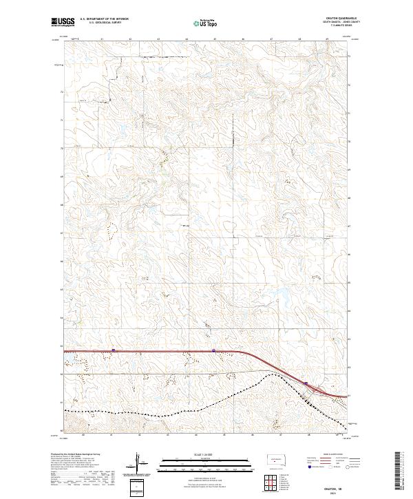
2021 Map of Okaton
USGS Topo · Published 2021About this map
The northern plains of Jones County are characterized by the seasonal drainage of Dry Cr, which carves a subtle network of draws through the landscape south of the Bad River basin. This 2021 survey reveals a vast section of rural South Dakota organized strictly by the Public Land Survey System, with township boundaries such as t1n r26e and t1s r27e dictating the placement of the sparse road network. The southern portion of the quadrangle is defined by the heavy infrastructure of the Interstate 90 corridor, which runs parallel to the older local thoroughfare of Railway St. This alignment highlights the persistent importance of this east-west transit corridor in the region's development, where modern high-speed travel follows the same geographic logic as the earlier rail and local road systems like 239th St.
Find a feature on this map
16 named features on this map. Tap any name to fly to it.
Don’t see what you’re looking for? This feature index may not catch every label — zoom into the map to look around manually.
Map Details
Editions of this 2021 Okaton Map
This is the sole edition of this map. No revisions or reprints were ever made.
Other maps of this area

1951 · Capa
USGS Topo · 1:24,000

1951 · Stamford SE
USGS Topo · 1:24,000

1951 · Okaton SW
USGS Topo · 1:24,000

1951 · Okaton SE
USGS Topo · 1:24,000

1951 · Capa SE
USGS Topo · 1:24,000

1954 · Midland SE
USGS Topo · 1:24,000

1954 · Pierre
USGS Topo · 1:250,000

1955 · Martin
USGS Topo · 1:250,000

1958 · Pierre
USGS Topo · 1:250,000

1958 · Martin
USGS Topo · 1:250,000