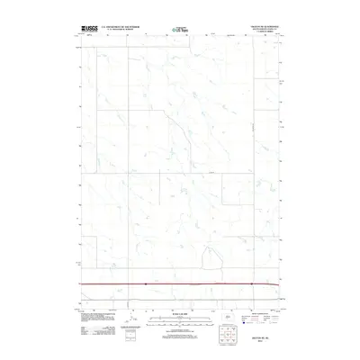
2012 Map of Okaton NE
USGS Topo · Published 2012About this map
Horse Cr winds through this open prairie landscape in Jones County, defining the primary natural drainage in a region dominated by wide agricultural sections. The map reveals a highly structured grid of section lines and rural thoroughfares, such as Van Metre Rd, that facilitate transport across this part of the Great Plains. These routes reflect the late twentieth-century and early twenty-first-century infrastructure of South Dakota, where county roads like Co Rd-N9 and Co Rd-S2A provide essential connections between remote farmsteads and larger regional arteries. The terrain is characterized by gentle elevation changes and numerous small depressions and catchment areas, typical of the high plains topography found north of the White River.
Find a feature on this map
4 named features on this map. Tap any name to fly to it.
Don’t see what you’re looking for? This feature index may not catch every label — zoom into the map to look around manually.
Map Details
Editions of this 2012 Okaton NE Map
This is the sole edition of this map. No revisions or reprints were ever made.
Other maps of this area

1951 · Capa
USGS Topo · 1:24,000

1951 · Okaton SW
USGS Topo · 1:24,000

1951 · Murdo SW
USGS Topo · 1:24,000

1951 · Okaton SE
USGS Topo · 1:24,000

1951 · Capa SE
USGS Topo · 1:24,000

1954 · Pierre
USGS Topo · 1:250,000

1955 · Martin
USGS Topo · 1:250,000

1958 · Pierre
USGS Topo · 1:250,000

1958 · Martin
USGS Topo · 1:250,000

1972 · Murdo
USGS Topo · 1:24,000