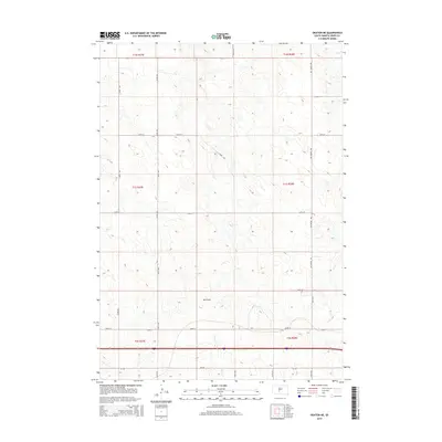
2015 Map of Okaton NE
USGS Topo · Published 2015About this map
Ash Draw and Horse Cr carve through the high plains of Jones County, defining the drainage patterns of this sparsely populated ranching landscape. This 2015 survey reveals the rigid section lines of the Public Land Survey System, where north-south routes like 263rd Ave and 264th Ave intersect with east-west roads such as 237th St. The southern portion of the quadrangle is anchored by the corridor of SD-248, which parallels the path of Interstate 90 just to the south. This transportation artery represents the modern infrastructure supporting the region's agricultural economy. Farther north, the terrain remains dominated by the open prairie, with Van Metre Rd serving as a primary link between remote sections and the few established thoroughfares in this part of South Dakota.
Find a feature on this map
22 named features on this map. Tap any name to fly to it.
Don’t see what you’re looking for? This feature index may not catch every label — zoom into the map to look around manually.
Map Details
Editions of this 2015 Okaton NE Map
This is the sole edition of this map. No revisions or reprints were ever made.
Other maps of this area
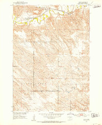
1951 · Capa
USGS Topo · 1:24,000
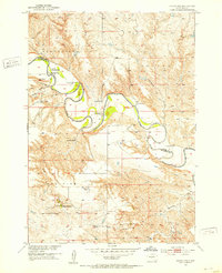
1951 · Okaton SW
USGS Topo · 1:24,000
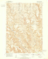
1951 · Murdo SW
USGS Topo · 1:24,000
1951 · Okaton SE
USGS Topo · 1:24,000
1951 · Capa SE
USGS Topo · 1:24,000

1954 · Pierre
USGS Topo · 1:250,000

1955 · Martin
USGS Topo · 1:250,000

1958 · Pierre
USGS Topo · 1:250,000

1958 · Martin
USGS Topo · 1:250,000
1972 · Murdo
USGS Topo · 1:24,000