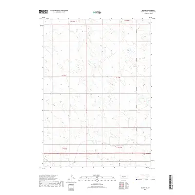
2017 Map of Okaton NE
USGS Topo · Published 2017About this map
Horse Cr and the drainage of Ash Draw define this Jones County landscape in 2017. The terrain is structured by a grid of rural section lines and access roads, including Vanmetre Rd and Co Rd N9, which navigate the subtle rises of the northern Great Plains. This survey illustrates the contemporary land divisions and sparse settlement patterns typical of central South Dakota's ranching and agricultural country. The southern portion of the quadrangle is traversed by a major interstate corridor, with local routes like Co Rd 52A and 241st St providing connectivity between township sections. This map documents the precise placement of modern water features and rural infrastructure in the high plains environment.
Find a feature on this map
16 named features on this map. Tap any name to fly to it.
Don’t see what you’re looking for? This feature index may not catch every label — zoom into the map to look around manually.
Map Details
Editions of this 2017 Okaton NE Map
This is the sole edition of this map. No revisions or reprints were ever made.
Other maps of this area
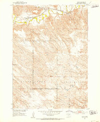
1951 · Capa
USGS Topo · 1:24,000
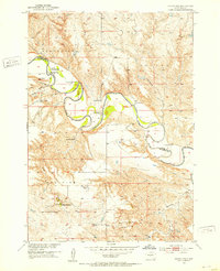
1951 · Okaton SW
USGS Topo · 1:24,000
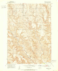
1951 · Murdo SW
USGS Topo · 1:24,000
1951 · Okaton SE
USGS Topo · 1:24,000
1951 · Capa SE
USGS Topo · 1:24,000

1954 · Pierre
USGS Topo · 1:250,000

1955 · Martin
USGS Topo · 1:250,000

1958 · Pierre
USGS Topo · 1:250,000

1958 · Martin
USGS Topo · 1:250,000
1972 · Murdo
USGS Topo · 1:24,000