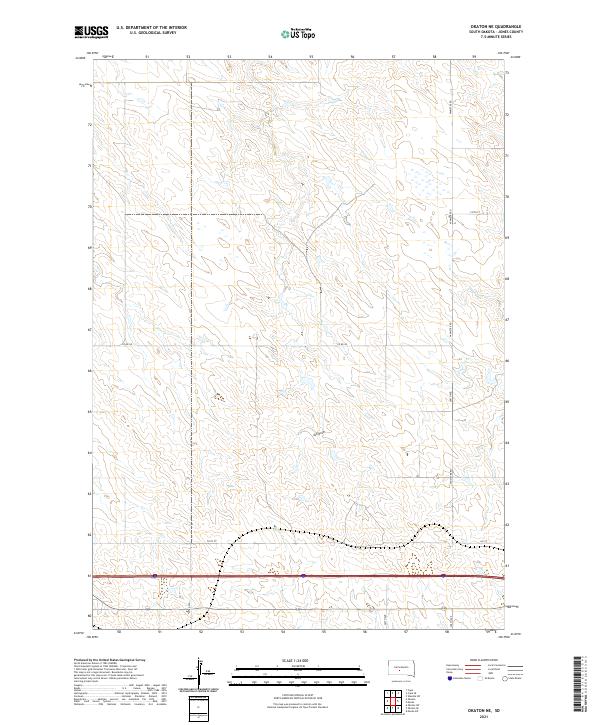
2021 Map of Okaton NE
USGS Topo · Published 2021About this map
Horse Cr and Ash Draw define the drainage patterns across this section of Jones County, carving paths through the high plains landscape of central South Dakota. The map illustrates a strict section-line grid of rural roads, including Vanmetre Rd and 268th Ave, which serve the expansive agricultural lands north of the Interstate 90 corridor. This 2021 survey by the U.S. Geological Survey details the late-modern configuration of the Public Land Survey System, showing the Township and Range boundaries such as t1s r28e and t2s r27e that have organized this territory since the era of homesteading. The interplay between natural features like Horse Cr and the engineered precision of routes like Co Rd N9 reflects the long-term human adaptation to the semi-arid environment of the Missouri Plateau.
Find a feature on this map
16 named features on this map. Tap any name to fly to it.
Don’t see what you’re looking for? This feature index may not catch every label — zoom into the map to look around manually.
Map Details
Editions of this 2021 Okaton NE Map
This is the sole edition of this map. No revisions or reprints were ever made.
Other maps of this area

1951 · Capa
USGS Topo · 1:24,000

1951 · Okaton SW
USGS Topo · 1:24,000

1951 · Murdo SW
USGS Topo · 1:24,000

1951 · Okaton SE
USGS Topo · 1:24,000

1951 · Capa SE
USGS Topo · 1:24,000

1954 · Pierre
USGS Topo · 1:250,000

1955 · Martin
USGS Topo · 1:250,000

1958 · Pierre
USGS Topo · 1:250,000

1958 · Martin
USGS Topo · 1:250,000

1972 · Murdo
USGS Topo · 1:24,000