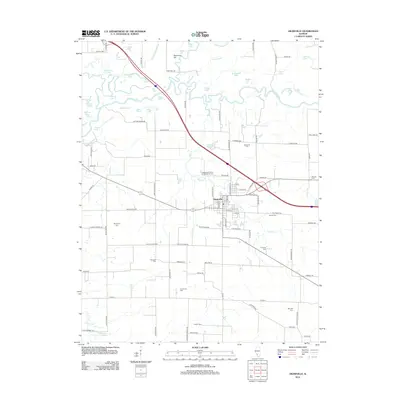
2012 Map of Okawville
USGS Topo · Published 2012About this map
The Kaskaskia River and its intricate network of oxbows and sloughs, including Maple Slough and Fish Slough, define the northern landscape of this Washington County region. The village of Okawville serves as the central hub, where the residential grid meets the arterial roads and the southern agricultural plains. This 2012 survey illustrates a landscape deeply marked by its rural heritage, evidenced by the high density of family-named burial grounds and fraternal organization sites throughout the area.
Find a feature on this map
106 named features on this map. Tap any name to fly to it.
Don’t see what you’re looking for? This feature index may not catch every label — zoom into the map to look around manually.
Map Details
Editions of this 2012 Okawville Map
This is the sole edition of this map. No revisions or reprints were ever made.
Other maps of this area

1906 · Breese
USGS Topo · 1:62,500

1907 · Breese
USGS Topo · 1:62,500

1910 · Carlyle
USGS Topo · 1:62,500

1910 · Okawville
USGS Topo · 1:62,500

1931 · Hoyleton
USGS Topo · 1:48,000

1932 · Nashville
USGS Topo · 1:62,500

1936 · Nashville
USGS Topo · 1:62,500

1940 · Okawville
USGS Topo · 1:62,500

1948 · Carlyle
USGS Topo · 1:62,500
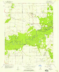
1957 · Venedy
USGS Topo · 1:24,000