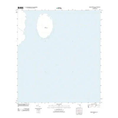
2012 Map of Okeechobee SE
USGS Topo · Published 2012About this map
Lake Okeechobee dominates this aquatic landscape in southern Florida, captured by the U.S. Geological Survey in 2012. This particular sheet focuses almost entirely on the open water and submerged terrain of the lake's eastern interior, offering a specialized look at the bathymetry and hidden hazards beneath the surface. The most prominent underwater landmark is North Lake Shoal, an elongated feature that rises from the lake floor. This survey serves as a precise record of the lake's shoreline and shoal positions at the beginning of the 2010s, providing essential data for navigators, hydrologists, and environmental researchers focused on Martin County's portion of Florida's largest freshwater body.
Find a feature on this map
2 named features on this map. Tap any name to fly to it.
Don’t see what you’re looking for? This feature index may not catch every label — zoom into the map to look around manually.
Map Details
Editions of this 2012 Okeechobee SE Map
This is the sole edition of this map. No revisions or reprints were ever made.
Other maps of this area

1952 · Okeechobee NW
USGS Topo · 1:24,000

1952 · Okeechobee
USGS Topo · 1:24,000

1953 · Okeechobee 4 SW
USGS Topo · 1:24,000

1953 · Okeechobee SW
USGS Topo · 1:24,000

1953 · Okeechobee 4 NW
USGS Topo · 1:24,000

1956 · West Palm Beach
USGS Topo · 1:250,000

1956 · Fort Pierce
USGS Topo · 1:250,000

1957 · West Palm Beach
USGS Topo · 1:250,000

1958 · Fort Pierce
USGS Topo · 1:250,000

1958 · West Palm Beach
USGS Topo · 1:250,000