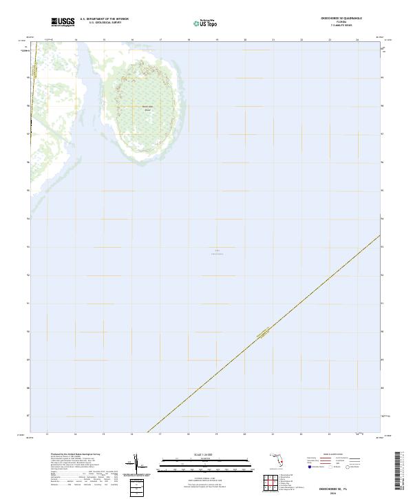
2024 Map of Okeechobee SE
USGS Topo · Published 2024About this map
Lake Okeechobee dominates the expanse of this southeastern Florida landscape, where the shallow waters and marshes define the regional geography. The map focuses on the interior basin of the lake, specifically highlighting the North Lake Shoal, a significant underwater formation that influences the local hydrography. This 2024 survey documents the convergence of three county lines within the water itself, marking the aquatic boundaries where Glades Co Okeechobee Co and Okeechobee Co Martin Co meet. The absence of terrestrial roads or settlements underscores the sheer scale of the lake's open water and protected wetland environments during this modern era, providing a precise record of the shoreline and depth contours as they existed at the time of the U.S. Geological Survey.
Find a feature on this map
4 named features on this map. Tap any name to fly to it.
Don’t see what you’re looking for? This feature index may not catch every label — zoom into the map to look around manually.
Map Details
Editions of this 2024 Okeechobee SE Map
This is the sole edition of this map. No revisions or reprints were ever made.
Other maps of this area

1952 · Okeechobee NW
USGS Topo · 1:24,000

1952 · Okeechobee
USGS Topo · 1:24,000

1953 · Okeechobee 4 SW
USGS Topo · 1:24,000

1953 · Okeechobee SW
USGS Topo · 1:24,000

1953 · Okeechobee 4 NW
USGS Topo · 1:24,000

1956 · West Palm Beach
USGS Topo · 1:250,000

1956 · Fort Pierce
USGS Topo · 1:250,000

1957 · West Palm Beach
USGS Topo · 1:250,000

1958 · Fort Pierce
USGS Topo · 1:250,000

1958 · West Palm Beach
USGS Topo · 1:250,000