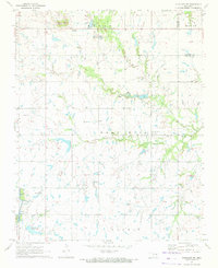
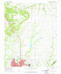
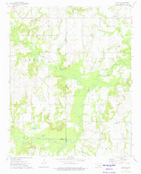
1971 Map of Okmulgee NE
USGS Topo · Published 1972This historical map portrays the area of Okmulgee NE in 1971, primarily covering Okmulgee County as well as portions of Muskogee County. Featuring a scale of 1:24000, this map provides a highly detailed snapshot of the terrain, roads, buildings, counties, and historical landmarks in the Okmulgee NE region at the time. Published in 1972, it is one of 2 known editions of this map due to revisions or reprints.
Find a feature on this map
25 named features on this map. Tap any name to fly to it.
Don’t see what you’re looking for? This feature index may not catch every label — zoom into the map to look around manually.
Map Details
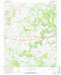
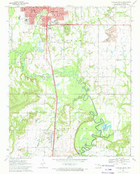
Editions of this 1971 Okmulgee NE Map
2 editions found
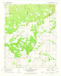
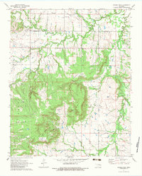
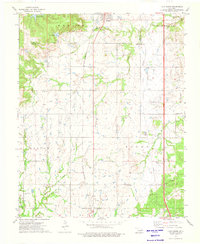
Historical Maps of Okmulgee County Through Time
9 maps found
1967 Pharoah
Okmulgee County, OK
1971 Concharty Mountain
Okmulgee County, OK
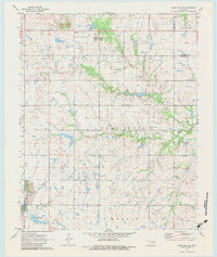
1971 Okmulgee NE
Okmulgee County, OK
1971 Okmulgee North
Okmulgee County, OK
1971 Okmulgee South
Okmulgee County, OK
1971 Spanish Peak
Okmulgee County, OK
1973 Lake Boren
Okmulgee County, OK
1973 Nuyaka
Okmulgee County, OK
1973 Okmulgee Lake
Okmulgee County, OK