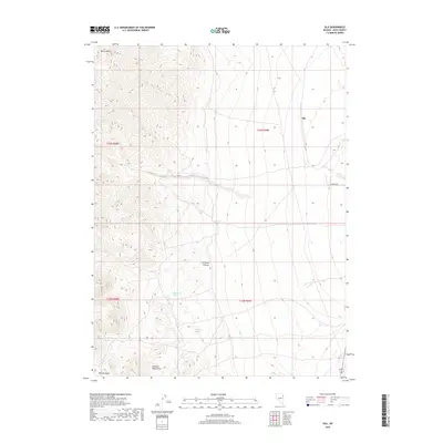
2018 Map of Ola
USGS Topo · Published 2018About this map
Ola stands as a primary point of reference in this arid Elko County landscape, situated where the terrain transitions from the high peaks of the Goshute Mountains down into the surrounding basins. The geography is defined by a series of critical water sources, including Blue Bell Spring, Hillside Spring, Elizabeth Spring, and Mud Spring, which have historically dictated the patterns of movement and occupation in this high-desert environment. These springs provide vital moisture for the area between Morris Basin to the north and Morgan Basin at the southern edge of the quadrangle.
Find a feature on this map
14 named features on this map. Tap any name to fly to it.
Don’t see what you’re looking for? This feature index may not catch every label — zoom into the map to look around manually.
Map Details
Editions of this 2018 Ola Map
This is the sole edition of this map. No revisions or reprints were ever made.
Other maps of this area
1955 · Elko
USGS Topo · 1:250,000
1958 · Elko
USGS Topo · 1:250,000
1962 · Elko
USGS Topo · 1:250,000
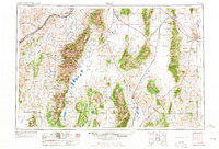
1965 · Elko
USGS Topo · 1:250,000
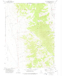
1971 · West Morris Basin
USGS Topo · 1:24,000
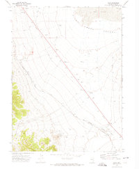
1971 · Pilot
USGS Topo · 1:24,000
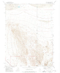
1971 · Leppy Peak
USGS Topo · 1:24,000
1972 · Morgan Pass
USGS Topo · 1:24,000
1972 · Lion Spring
USGS Topo · 1:24,000
1972 · Ola
USGS Topo · 1:24,000