2021 Map of Ola
USGS Topo · Published 2021About this map
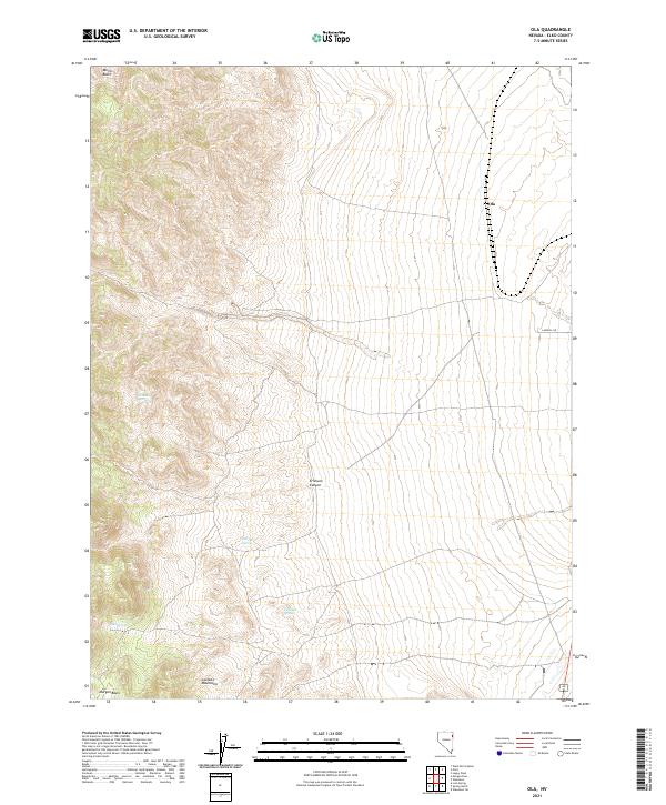
The high-desert terrain of the Goshute Mountains dominates this portion of Elko County, where water sources serve as the primary landmarks in an arid landscape. Small, scattered water points like Blue Bell Spring, Hillside Spring, Elizabeth Spring, and Mud Spring are critical features, indicating the sparse but vital hydrography of the Great Basin region. The settlement of Ola sits along a north-south transit corridor on the eastern edge of the mountains, while topographically significant areas such as Morris Basin and Morgan Basin define the western reaches of the quadrangle. Erickson Canyon cuts through the central heights, providing a natural drainage path toward the lower basins. This map illustrates the intersection of rugged public land management and the essential infrastructure of the modern West, noted by the presence of Landfill Rd near the eastern boundary.
Find a feature on this map
14 named features on this map. Tap any name to fly to it.
Don’t see what you’re looking for? This feature index may not catch every label — zoom into the map to look around manually.
Map Details
Editions of this 2021 Ola Map
This is the sole edition of this map. No revisions or reprints were ever made.
Other maps of this area

1955 · Elko
USGS Topo · 1:250,000

1958 · Elko
USGS Topo · 1:250,000

1962 · Elko
USGS Topo · 1:250,000

1965 · Elko
USGS Topo · 1:250,000

1971 · West Morris Basin
USGS Topo · 1:24,000

1971 · Pilot
USGS Topo · 1:24,000

1971 · Leppy Peak
USGS Topo · 1:24,000

1972 · Morgan Pass
USGS Topo · 1:24,000

1972 · Lion Spring
USGS Topo · 1:24,000

1972 · Ola
USGS Topo · 1:24,000