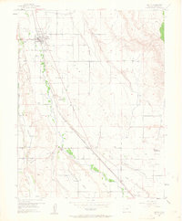
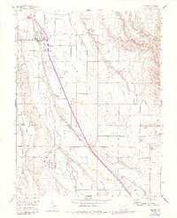
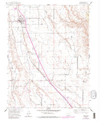
1955 Map of Olathe
USGS Topo · Published 1963About this map
Olathe anchors this mid-century survey of the Uncompahgre Valley, where an extensive network of irrigation canals like the East Canal and Selig Canal transformed the arid landscape of High Mesa and Franklin Mesa into productive agricultural land. The Uncompahgre River and the Denver and Rio Grande Western railroad corridor dictate the settlement pattern, with smaller outposts at Frost and Roe serving the surrounding ranching and farming community. Local civic life is well-documented through the placement of several rural schoolhouses, including Menoken Sch and Coal Creek Sch, alongside the North Mesa Community Hall. The presence of a Gravel Pit and numerous water features such as Deadmans Gulch and Loutzenhiser Arroyo illustrate the intersection of industrial resource extraction and natural drainage systems in Montrose County during this period.
Find a feature on this map
26 named features on this map. Tap any name to fly to it.
Don’t see what you’re looking for? This feature index may not catch every label — zoom into the map to look around manually.
Map Details
Editions of this 1955 Olathe Map
7 editions found
Other maps of this area

1909 · Montrose
USGS Topo · 1:125,000

1911 · Montrose
USGS Topo · 1:125,000

1955 · Olathe NW
USGS Topo · 1:24,000

1955 · Black Ridge
USGS Topo · 1:24,000

1955 · Olathe
USGS Topo · 1:24,000

1955 · Red Rock Canyon
USGS Topo · 1:24,000

1956 · Montrose
USGS Topo · 1:250,000

1956 · Moab
USGS Topo · 1:250,000

1959 · Moab
USGS Topo · 1:250,000

1959 · Montrose
USGS Topo · 1:250,000