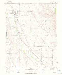
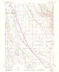
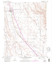
1955 Map of Olathe
USGS Topo · Published 1963About this map
The town of Olathe serves as the focal point for this mid-century agricultural corridor in the Uncompahgre Valley. Defined by an intricate network of irrigation, the landscape is crisscrossed by the East Canal, Selig Canal, and numerous unnamed ditches that feed the surrounding mesas, including High Mesa and East Mesa. This reliance on water engineering is starkly contrasted by the natural course of the Uncompahgre River and the deeply etched path of Loutzenhizer Arroyo.
Find a feature on this map
26 named features on this map. Tap any name to fly to it.
Don’t see what you’re looking for? This feature index may not catch every label — zoom into the map to look around manually.
Map Details
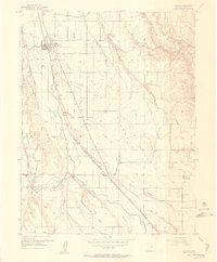
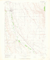
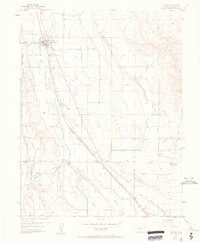
Editions of this 1955 Olathe Map
7 editions found
Other maps of this area

1909 · Montrose
USGS Topo · 1:125,000

1911 · Montrose
USGS Topo · 1:125,000

1955 · Olathe NW
USGS Topo · 1:24,000

1955 · Black Ridge
USGS Topo · 1:24,000

1955 · Olathe
USGS Topo · 1:24,000

1955 · Red Rock Canyon
USGS Topo · 1:24,000

1956 · Montrose
USGS Topo · 1:250,000

1956 · Moab
USGS Topo · 1:250,000

1959 · Moab
USGS Topo · 1:250,000

1959 · Montrose
USGS Topo · 1:250,000