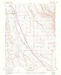
1955 Map of Olathe
USGS Topo · Published 1984About this map
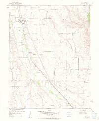
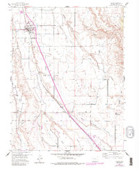
The Olathe townsite serves as the central hub of this agricultural landscape in the mid-1950s, bisected by the Denver and Rio Grande Western railroad. The territory is defined by an intricate network of irrigation, featuring the Selig Canal and Loutsenhizer Arroyo, which support farming across the high mesas. The rural character of the era is preserved through several local schoolhouses, including Frost Sch and Menoken Sch, alongside the North Mesa Community Hall. Topographically, the land transitions from the Uncompahgre River valley up toward East Mesa and Ash Mesa, with the Olathe Cem and a Gravel Pit marking the outskirts of the primary settlement. The southern edge of the survey captures the Montrose County Airport, showing the infrastructure connecting this Western Slope community to the wider region.
Find a feature on this map
26 named features on this map. Tap any name to fly to it.
Don’t see what you’re looking for? This feature index may not catch every label — zoom into the map to look around manually.
Map Details
Editions of this 1955 Olathe Map
7 editions found
Other maps of this area

1909 · Montrose
USGS Topo · 1:125,000

1911 · Montrose
USGS Topo · 1:125,000

1955 · Olathe NW
USGS Topo · 1:24,000

1955 · Black Ridge
USGS Topo · 1:24,000

1955 · Olathe
USGS Topo · 1:24,000

1955 · Red Rock Canyon
USGS Topo · 1:24,000

1956 · Montrose
USGS Topo · 1:250,000

1956 · Moab
USGS Topo · 1:250,000

1959 · Moab
USGS Topo · 1:250,000

1959 · Montrose
USGS Topo · 1:250,000