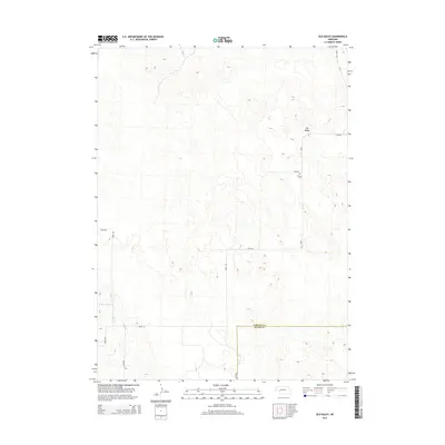
2014 Map of Old Baldy
USGS Topo · Published 2014About this map
The high plains of Nebraska near the Garden and Keith County line are defined by a rhythmic landscape of sandhills and drainage basins. Old Baldy rises as a prominent local landmark, overlooking a network of section-line roads and interior tracks that serve the region's ranching interests. These routes, such as Road 213 and Road 56, provide access to isolated rural landmarks like Fairview Cem, which stands as a quiet record of early homesteading history in the area. Water management is critical in this environment, evidenced by the presence of Lobner Reservoir and the winding course of Ash Cr. The map illustrates the 21st-century transition of traditional Nebraska rangeland, where modern water infrastructure and surveyed road networks integrate with the natural topography of the Platte River valley periphery.
Find a feature on this map
14 named features on this map. Tap any name to fly to it.
Don’t see what you’re looking for? This feature index may not catch every label — zoom into the map to look around manually.
Map Details
Editions of this 2014 Old Baldy Map
This is the sole edition of this map. No revisions or reprints were ever made.
Other maps of this area
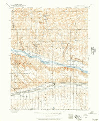
1897 · Ogallala
USGS Topo · 1:125,000
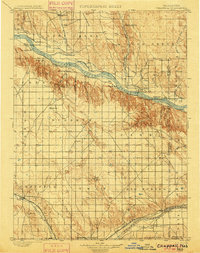
1900 · Chappell
USGS Topo · 1:125,000
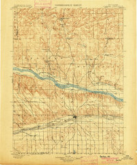
1900 · Ogallala
USGS Topo · 1:125,000
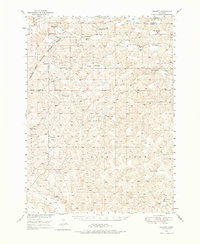
1949 · Rackett
USGS Topo · 1:62,500
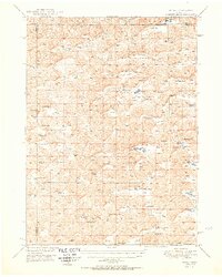
1950 · Velma
USGS Topo · 1:62,500
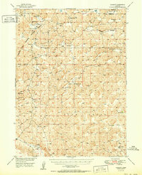
1951 · Rackett
USGS Topo · 1:62,500

1954 · Scottsbluff
USGS Topo · 1:250,000

1954 · North Platte
USGS Topo · 1:250,000

1956 · North Platte
USGS Topo · 1:250,000

1957 · North Platte
USGS Topo · 1:250,000