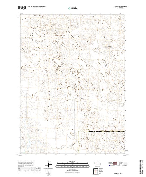
2021 Map of Old Baldy
USGS Topo · Published 2021About this map
Old Baldy rises above a sparse, high-plains landscape in this western Nebraska survey, marking the topography of northern Garden County. The terrain is characterized by rolling hills and intermittent drainages, with Ash Creek cutting through the northern reaches. This 2021 edition illustrates a traditional ranching environment defined more by its open spaces and section lines than by dense settlement. Human activity is evidenced by a systematic network of rural routes such as Rd 215 and Rd 60. A singular site of historical and genealogical significance, Fairview Cem, sits centrally along Rd 56, serving as a quiet landmark for the local community. Near the southern edge of the sheet, the political boundary of Keith County meets the panhandle, providing a clear view of the jurisdictional divisions in this cattle-country region.
Find a feature on this map
19 named features on this map. Tap any name to fly to it.
Don’t see what you’re looking for? This feature index may not catch every label — zoom into the map to look around manually.
Map Details
Editions of this 2021 Old Baldy Map
This is the sole edition of this map. No revisions or reprints were ever made.
Other maps of this area

1897 · Ogallala
USGS Topo · 1:125,000

1900 · Chappell
USGS Topo · 1:125,000

1900 · Ogallala
USGS Topo · 1:125,000

1949 · Rackett
USGS Topo · 1:62,500

1950 · Velma
USGS Topo · 1:62,500

1951 · Rackett
USGS Topo · 1:62,500

1954 · Scottsbluff
USGS Topo · 1:250,000

1954 · North Platte
USGS Topo · 1:250,000

1956 · North Platte
USGS Topo · 1:250,000

1957 · North Platte
USGS Topo · 1:250,000