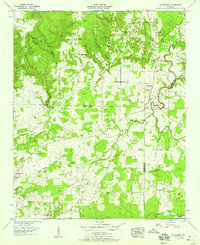
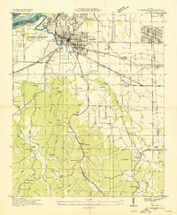
1957 Map of Old Bethel
USGS Topo · Published 1958About this map
Old Bethel and the surrounding tri-county borderlands of Colbert, Lawrence, and Franklin Counties are defined by a complex network of narrow hollows and ridge-top settlements in the late 1950s. The landscape is deeply tied to its small communities, evidenced by a high density of rural institutions such as Bethsaida Ch, Saints Crossroads, and the La Grange Sch. To the north, the terrain transitions into industrial use with several Strip mines active along the ridges near McAfee Creek.
Find a feature on this map
46 named features on this map. Tap any name to fly to it.
Don’t see what you’re looking for? This feature index may not catch every label — zoom into the map to look around manually.
Map Details
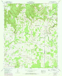
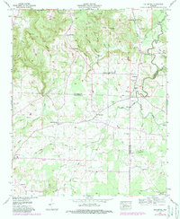
Editions of this 1957 Old Bethel Map
3 editions found
Other maps of this area

1924 · Tuscumbia
USGS Topo · 1:48,000

1926 · Tuscumbia
USGS Topo · 1:62,500

1936 · Russellville
USGS Topo · 1:24,000

1936 · Newburg
USGS Topo · 1:24,000

1936 · Moulton
USGS Topo · 1:48,000

1936 · Spruce Pine
USGS Topo · 1:24,000

1936 · Town Creek
USGS Topo · 1:24,000
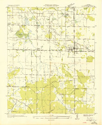
1936 · Leighton
USGS Topo · 1:24,000
1936 · Tuscumbia
USGS Topo · 1:24,000

1936 · Hatton
USGS Topo · 1:24,000