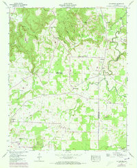
1957 Map of Old Bethel
USGS Topo · Published 1973About this map
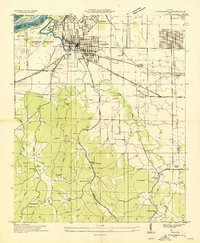
Watson and the surrounding plateau terrain dominate this portion of Northwest Alabama, where the borders of Colbert, Franklin, and Lawrence counties converge. The landscape is defined by the headwaters of numerous waterways, including Spring Creek and Mud Creek, which have carved deep hollows such as Gin House Hollow Branch. This 1950s survey captures a rural landscape transitioning toward mid-century industrialization, evidenced by the Strip mines dotting the northern ridges near Collins Mountain.
Find a feature on this map
54 named features on this map. Tap any name to fly to it.
Don’t see what you’re looking for? This feature index may not catch every label — zoom into the map to look around manually.
Map Details
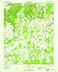
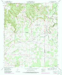
Editions of this 1957 Old Bethel Map
3 editions found
Other maps of this area

1924 · Tuscumbia
USGS Topo · 1:48,000

1926 · Tuscumbia
USGS Topo · 1:62,500

1936 · Russellville
USGS Topo · 1:24,000

1936 · Newburg
USGS Topo · 1:24,000

1936 · Moulton
USGS Topo · 1:48,000

1936 · Spruce Pine
USGS Topo · 1:24,000

1936 · Town Creek
USGS Topo · 1:24,000
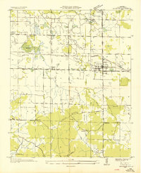
1936 · Leighton
USGS Topo · 1:24,000
1936 · Tuscumbia
USGS Topo · 1:24,000

1936 · Hatton
USGS Topo · 1:24,000