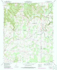
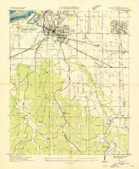
1957 Map of Old Bethel
USGS Topo · Published 1989About this map
Collins Mountain and the high ridges of northwestern Alabama dominate this landscape, where the northern reaches of Colbert County meet Franklin and Lawrence. This area shows a transition from the agricultural lowlands near Town Creek to the industrial activity visible at the Strip mines near the northern boundary. The settlement at Old Bethel serves as a local hub, anchored by the Old Bethel Church and the nearby La Grange Sch.
Find a feature on this map
49 named features on this map. Tap any name to fly to it.
Don’t see what you’re looking for? This feature index may not catch every label — zoom into the map to look around manually.
Map Details
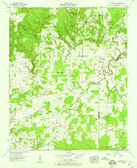
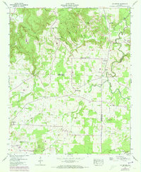
Editions of this 1957 Old Bethel Map
3 editions found
Other maps of this area

1924 · Tuscumbia
USGS Topo · 1:48,000

1926 · Tuscumbia
USGS Topo · 1:62,500

1936 · Russellville
USGS Topo · 1:24,000

1936 · Newburg
USGS Topo · 1:24,000

1936 · Moulton
USGS Topo · 1:48,000

1936 · Spruce Pine
USGS Topo · 1:24,000

1936 · Town Creek
USGS Topo · 1:24,000
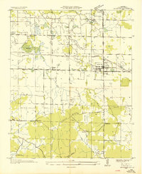
1936 · Leighton
USGS Topo · 1:24,000
1936 · Tuscumbia
USGS Topo · 1:24,000

1936 · Hatton
USGS Topo · 1:24,000