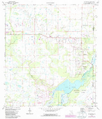
1973 Map of Old Myakka
USGS Topo · Published 1987About this map
Lake Myakka and the surrounding wetlands of Myakka River State Park define this Gulf Coast interior landscape in the early 1970s. The map illustrates a transitional environment where the wild marshlands of Tatum Sawgrass and Gum Slough meet the growing residential and agricultural footprints of eastern Sarasota County. Historical human activity is marked by the Caloosa Indian Mound and the small settlement of Old Myakka, where the Miakka Ch serves as a community anchor near Verna Road. The region's logistical history is visible in the Old RR Grade cutting through the terrain south of Utopia, while more modern developments are represented by the Hidden River Airport and various landing strips that reflect the area's mid-century rural aviation character. The drainage network, featuring Cow Pen Slough and Indian Creek, highlights the complex hydrology managed across the Sarasota and Manatee county lines.
Find a feature on this map
29 named features on this map. Tap any name to fly to it.
Don’t see what you’re looking for? This feature index may not catch every label — zoom into the map to look around manually.
Map Details
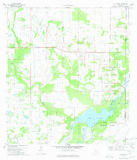
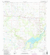
Editions of this 1973 Old Myakka Map
3 editions found
Other maps of this area

1943 · Laurel
USGS Topo · 1:24,000

1944 · Lower Myakka Lake
USGS Topo · 1:31,680

1944 · Verna
USGS Topo · 1:31,680

1944 · Laurel
USGS Topo · 1:31,680

1944 · Lorraine
USGS Topo · 1:31,680

1944 · Miakka
USGS Topo · 1:31,680

1947 · Bee Ridge
USGS Topo · 1:24,000

1956 · Myakka City
USGS Topo · 1:24,000

1956 · Myakka City NW
USGS Topo · 1:24,000

1956 · Murdock NW
USGS Topo · 1:24,000