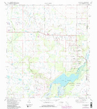
1973 Map of Old Myakka
USGS Topo · Published 1987About this map
Lake Myakka and the surrounding wetlands of the Myakka River State Park dominate this landscape, revealing a subtropical terrain defined by slow-moving water and seasonal prairies. The rural character of the region is anchored by the community of Old Myakka, where local landmarks like the Myakka Ch and nearby residential pockets like Hidden River stand out against the vast marshes. Evidence of earlier human activity and historical transit is visible in the Caloosa Indian Mound and an Old RR Grade that cuts through the southern reaches of the quadrangle.
Find a feature on this map
29 named features on this map. Tap any name to fly to it.
Don’t see what you’re looking for? This feature index may not catch every label — zoom into the map to look around manually.
Map Details
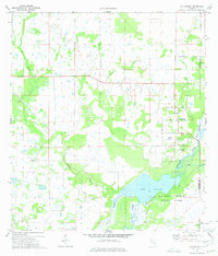
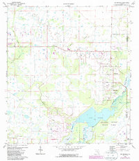
Editions of this 1973 Old Myakka Map
3 editions found
Other maps of this area

1943 · Laurel
USGS Topo · 1:24,000

1944 · Lower Myakka Lake
USGS Topo · 1:31,680

1944 · Verna
USGS Topo · 1:31,680

1944 · Laurel
USGS Topo · 1:31,680

1944 · Lorraine
USGS Topo · 1:31,680

1944 · Miakka
USGS Topo · 1:31,680

1947 · Bee Ridge
USGS Topo · 1:24,000

1956 · Myakka City
USGS Topo · 1:24,000

1956 · Myakka City NW
USGS Topo · 1:24,000

1956 · Murdock NW
USGS Topo · 1:24,000