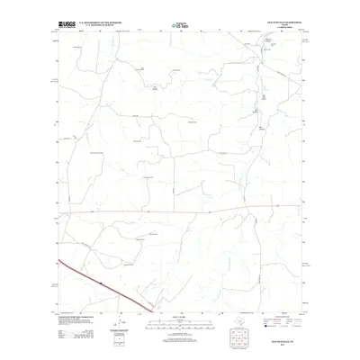
2012 Map of Old Noxville
USGS Topo · Published 2012About this map
Old Noxville sits at the northern edge of this landscape, a settlement characterized by its proximity to the Noxville Cem and the complex drainage of Monroe Hollow. The terrain is defined by a vast network of water-harvesting landmarks, indicating a rural economy deeply reliant on subsurface resources. Named sites such as the Eclipse Windmill, Triple Tanks Windmill, and Windmill Number Two are distributed across the ranchlands, providing evidence of traditional livestock management practices in the Edwards Plateau region. The map tracks the passage of the James River in the northwest and the winding course of the Little Devils River through the southern sections. Notable water sources like The Big Springs and Bur Oak Spring are tucked within topographic depressions such as Bell Hollow and Kits Hollow, where the local geology forces groundwater to the surface, creating vital points of interest for historical land-use research.
Find a feature on this map
37 named features on this map. Tap any name to fly to it.
Don’t see what you’re looking for? This feature index may not catch every label — zoom into the map to look around manually.
Map Details
Editions of this 2012 Old Noxville Map
This is the sole edition of this map. No revisions or reprints were ever made.
Other maps of this area
1894 · Kerrville
USGS Topo · 1:125,000
1954 · Llano
USGS Topo · 1:250,000
1955 · Llano
USGS Topo · 1:250,000
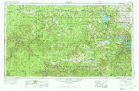
1956 · Llano
USGS Topo · 1:250,000
1964 · Contrary Creek
USGS Topo · 1:24,000
1964 · Live Oak Ranch
USGS Topo · 1:24,000
1964 · Mountain Home
USGS Topo · 1:24,000
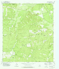
1974 · Noxville
USGS Topo · 1:24,000
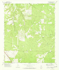
1974 · Tobe Branch
USGS Topo · 1:24,000
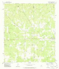
1974 · Harper West
USGS Topo · 1:24,000