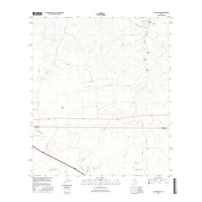
2016 Map of Old Noxville
USGS Topo · Published 2016About this map
Old Noxville sits at the northern edge of this West Texas landscape where the Little Devils River and James River drain the Edwards Plateau. The settlement's history is anchored by the Noxville Cem and Monroe Hollow, located just north of the Kimble Co Kerr Co line. The terrain is deeply inscribed by draws and hollows such as Mudge Draw, Bur Oak Draw, and Kits Hollow, reflecting a landscape where water access was historically critical. Reliable water sources are noted at Old Ranch Spring and The Big Springs, which likely served as vital points for ranching operations in this part of Kimble County.
Find a feature on this map
43 named features on this map. Tap any name to fly to it.
Don’t see what you’re looking for? This feature index may not catch every label — zoom into the map to look around manually.
Map Details
Editions of this 2016 Old Noxville Map
This is the sole edition of this map. No revisions or reprints were ever made.
Other maps of this area
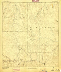
1894 · Kerrville
USGS Topo · 1:125,000
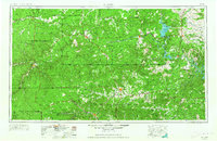
1954 · Llano
USGS Topo · 1:250,000
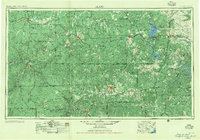
1955 · Llano
USGS Topo · 1:250,000
1956 · Llano
USGS Topo · 1:250,000
1964 · Contrary Creek
USGS Topo · 1:24,000
1964 · Live Oak Ranch
USGS Topo · 1:24,000
1964 · Mountain Home
USGS Topo · 1:24,000
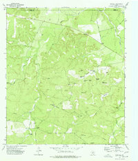
1974 · Noxville
USGS Topo · 1:24,000
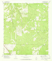
1974 · Tobe Branch
USGS Topo · 1:24,000
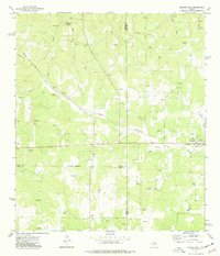
1974 · Harper West
USGS Topo · 1:24,000