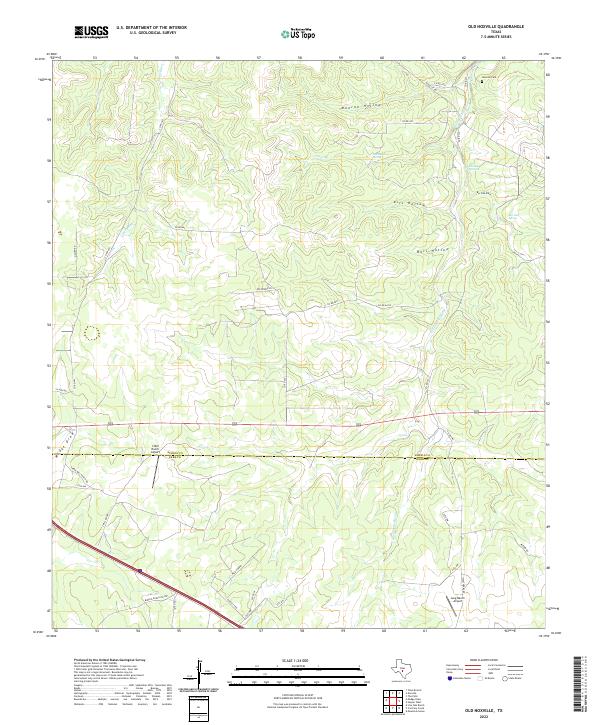
2022 Map of Old Noxville
USGS Topo · Published 2022About this map
The James River and Little Devils River carve through the dissected plateau of the Texas Hill Country on the border of Kimble and Kerr Counties. This landscape is defined by its dramatic drainage patterns, where deep-set geographic features like Monroe Hollow, Kits Hollow, and Bell Hollow provide natural conduits through the elevated terrain. Local history is anchored by the Noxville Cem near the northern boundary, while the region's reliance on groundwater is evident through numerous named water sources, including The Big Springs, Old Ranch Spring, and Bur Oak Spring. The area maintains a ranching character, supported by private aviation infrastructure at the 3 Mill Ranch Airport and Lang Ranch Airport. A network of rural county roads, such as Noxville Rd and Weatherby Rd, links isolated homesteads across the draws and ridges of this limestone-rich environment.
Find a feature on this map
43 named features on this map. Tap any name to fly to it.
Don’t see what you’re looking for? This feature index may not catch every label — zoom into the map to look around manually.
Map Details
Editions of this 2022 Old Noxville Map
This is the sole edition of this map. No revisions or reprints were ever made.
Other maps of this area

1894 · Kerrville
USGS Topo · 1:125,000

1954 · Llano
USGS Topo · 1:250,000

1955 · Llano
USGS Topo · 1:250,000

1956 · Llano
USGS Topo · 1:250,000
1964 · Contrary Creek
USGS Topo · 1:24,000

1964 · Live Oak Ranch
USGS Topo · 1:24,000
1964 · Mountain Home
USGS Topo · 1:24,000
1974 · Noxville
USGS Topo · 1:24,000
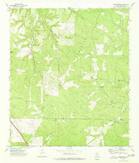
1974 · Tobe Branch
USGS Topo · 1:24,000
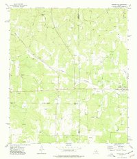
1974 · Harper West
USGS Topo · 1:24,000