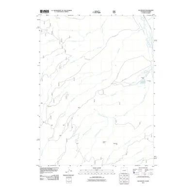
2011 Map of Old Roach
USGS Topo · Published 2011About this map
Old Roach and Grace Creek Ranch anchor this landscape along the border of northern Colorado and southern Wyoming, where high-altitude water management is central to the local geography. The northeast corner is marked by the Laramie River, which feeds an intricate network of irrigation channels including the Stuck Creek Ditch, Warren Ditch, and Hance Ditch. This 2011 survey illustrates a region defined by its hydrography, with Johnson Reservoir and its associated Johnson Dam serving as key landmarks for local water storage.
Find a feature on this map
34 named features on this map. Tap any name to fly to it.
Don’t see what you’re looking for? This feature index may not catch every label — zoom into the map to look around manually.
Map Details
Editions of this 2011 Old Roach Map
This is the sole edition of this map. No revisions or reprints were ever made.
Other maps of this area

1895 · Laramie
USGS Topo · 1:125,000

1902 · Laramie
USGS Topo · 1:125,000

1905 · Laramie
USGS Topo · 1:125,000

1906 · Medicine Bow
USGS Topo · 1:125,000

1906 · Laramie
USGS Topo · 1:125,000

1908 · Laramie
USGS Topo · 1:125,000

1908 · Medicine Bow
USGS Topo · 1:125,000

1916 · Home
USGS Topo · 1:125,000

1920 · Home
USGS Topo · 1:125,000

1950 · Kings Canyon
USGS Topo · 1:24,000