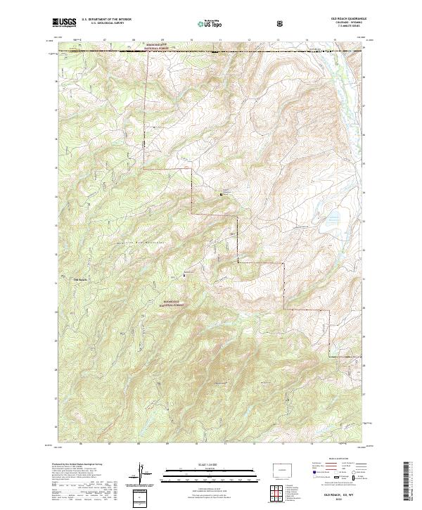
2022 Map of Old Roach
USGS Topo · Published 2022About this map
The Medicine Bow Mountains dominate this high-altitude landscape along the border of Colorado and Wyoming, where the headwaters of the Laramie River flow through the eastern edge. This region, split between the Medicine Bow National Forest and Roosevelt National Forest, reveals a legacy of water management and pioneer history. Local genealogists may find interest in the isolated Robert Williamson Grave or the Tathem Cem located near the Grace Creek Spur. The settlement at Old Roach sits west of Pole Ridge, surrounded by a complex network of ranching infrastructure including the Slough Cr Ditch, Warren Ditch, and Biller and Boswell Ditch. The terrain transitions from prominent peaks like Pollock Knob and Mansfield Hill down to the drainage of Grace Creek and Jenkins Cr, illustrating the rugged water-rights developments essential to high-country life.
Find a feature on this map
46 named features on this map. Tap any name to fly to it.
Don’t see what you’re looking for? This feature index may not catch every label — zoom into the map to look around manually.
Map Details
Editions of this 2022 Old Roach Map
This is the sole edition of this map. No revisions or reprints were ever made.
Other maps of this area

1895 · Laramie
USGS Topo · 1:125,000

1902 · Laramie
USGS Topo · 1:125,000

1905 · Laramie
USGS Topo · 1:125,000

1906 · Medicine Bow
USGS Topo · 1:125,000

1906 · Laramie
USGS Topo · 1:125,000

1908 · Laramie
USGS Topo · 1:125,000

1908 · Medicine Bow
USGS Topo · 1:125,000

1916 · Home
USGS Topo · 1:125,000

1920 · Home
USGS Topo · 1:125,000

1950 · Kings Canyon
USGS Topo · 1:24,000