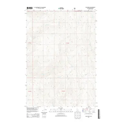
2013 Map of Olds Ferry NE
USGS Topo · Published 2013About this map
Payette National Forest land defines the northern reaches of this Washington County landscape, where the terrain is carved by a network of seasonal and perennial drainages. The hydrology of the region is centered on several prominent watercourses including Rock Creek and Monroe Creek, which drain the elevated slopes in a southwesterly direction. These waterways, along with Little Rock Creek and Warm Springs Creek, suggest a landscape historically utilized for livestock grazing and land management under the Public Land Survey System. The infrastructure is characterized by a sparse road network, featuring a few unimproved paths and a dedicated Private Road, reflecting the secluded nature of this high-elevation Idaho territory during the early twenty-first century.
Find a feature on this map
12 named features on this map. Tap any name to fly to it.
Don’t see what you’re looking for? This feature index may not catch every label — zoom into the map to look around manually.
Map Details
Editions of this 2013 Olds Ferry NE Map
This is the sole edition of this map. No revisions or reprints were ever made.
Other maps of this area
1897 · Weiser
USGS Topo · 1:125,000
1915 · Pine
USGS Topo · 1:125,000
1952 · Olds Ferry NW
USGS Topo · 1:24,000
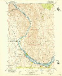
1952 · Olds Ferry
USGS Topo · 1:24,000
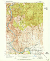
1952 · Olds Ferry
USGS Topo · 1:62,500
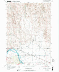
1952 · Olds Ferry SE
USGS Topo · 1:24,000
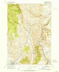
1953 · Mann Creek
USGS Topo · 1:62,500

1955 · Baker
USGS Topo · 1:250,000
1957 · Sturgill Peak
USGS Topo · 1:62,500
1957 · Mineral
USGS Topo · 1:62,500