
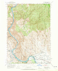
1952 Map of Olds Ferry
USGS Topo · Published 1956About this map
The Snake River defines the border between Idaho and Oregon in this mid-century survey, a landscape where river rapids and historic transit routes dictate the layout of human settlement. The presence of the Oregon Trail and its marker, the Oregon Trail Mon, underscores the area's deep history as a migration corridor, running parallel to the modern Pacific Highway. The river is marked by series of hazards including Bay Horse Rapids, Shoofly Rapids, and Whisky Rapids.
Find a feature on this map
56 named features on this map. Tap any name to fly to it.
Don’t see what you’re looking for? This feature index may not catch every label — zoom into the map to look around manually.
Map Details
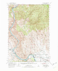
Editions of this 1952 Olds Ferry Map
3 editions found
Other maps of this area

1897 · Weiser
USGS Topo · 1:125,000

1915 · Pine
USGS Topo · 1:125,000

1950 · Jamieson
USGS Topo · 1:62,500

1951 · Moores Hollow
USGS Topo · 1:24,000

1951 · Moores Hollow
USGS Topo · 1:62,500

1951 · Huntington
USGS Topo · 1:62,500

1951 · Weiser South
USGS Topo · 1:24,000

1952 · Olds Ferry NW
USGS Topo · 1:24,000

1952 · Olds Ferry
USGS Topo · 1:24,000

1952 · Olds Ferry SE
USGS Topo · 1:24,000