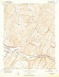
1951 Map of Oldtown
USGS Topo · Published 1951About this map
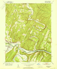
Potomac River meanders sharply through the mountainous borderlands of Maryland and West Virginia, defining a landscape shaped by transportation and geography. The Oldtown community sits near the river's bend, where the Chesapeake and Ohio Canal and the Western Maryland Railroad once navigated the narrow passage between Warrior Mtn and Green Ridge. This 1951 record shows the region just after the mid-century, capturing the intricate relationship between the waterway and the dual rail lines, including the Baltimore and Ohio Railroad skirting the southern bank.
Find a feature on this map
51 named features on this map. Tap any name to fly to it.
Don’t see what you’re looking for? This feature index may not catch every label — zoom into the map to look around manually.
Map Details
Editions of this 1951 Oldtown Map
2 editions found
Other maps of this area

1891 · Romney
USGS Topo · 1:125,000

1894 · Winchester
USGS Topo · 1:125,000

1898 · Paw Paw
USGS Topo · 1:62,500

1899 · Flintstone
USGS Topo · 1:62,500

1900 · Pawpaw
USGS Topo · 1:62,500

1900 · Flintstone
USGS Topo · 1:62,500

1910 · Paw Paw
USGS Topo · 1:62,500

1916 · Capon Bridge
USGS Topo · 1:62,500

1921 · Hanging Rock
USGS Topo · 1:48,000

1923 · Capon Bridge
USGS Topo · 1:62,500