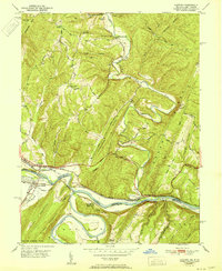
1951 Map of Oldtown
USGS Topo · Published 1951About this map
The Potomac River winds through the borderlands between Maryland and West Virginia, carving a deep valley through the ridges of Warrior Mtn and South Branch Mountain. The small settlement of Oldtown serves as a focal point for the region's transport history, situated where the Chesapeake and Ohio Canal (Abandoned) follows the river's northern bank. Across the water, the Baltimore and Ohio RR tracks dominate the West Virginia shoreline, connecting river-adjacent communities like Green Spring, Okonoko, and South Branch (French Sta). Local life is anchored by landmarks such as Mount Olive Church and Okonoko Church, while the surrounding terrain is defined by names like Sugar Hollow and Oliver Belt. The map illustrates a transitional period where heavy rail infrastructure remained vital even as the canal era had officially passed into the landscape's memory.
Find a feature on this map
53 named features on this map. Tap any name to fly to it.
Don’t see what you’re looking for? This feature index may not catch every label — zoom into the map to look around manually.
Map Details
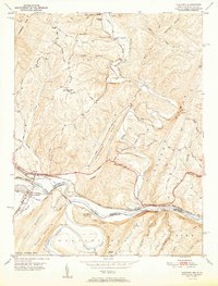
Editions of this 1951 Oldtown Map
2 editions found
Other maps of this area

1891 · Romney
USGS Topo · 1:125,000

1894 · Winchester
USGS Topo · 1:125,000

1898 · Paw Paw
USGS Topo · 1:62,500

1899 · Flintstone
USGS Topo · 1:62,500

1900 · Pawpaw
USGS Topo · 1:62,500

1900 · Flintstone
USGS Topo · 1:62,500

1910 · Paw Paw
USGS Topo · 1:62,500

1916 · Capon Bridge
USGS Topo · 1:62,500

1921 · Hanging Rock
USGS Topo · 1:48,000

1923 · Capon Bridge
USGS Topo · 1:62,500