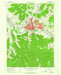
1961 Map of Olean
USGS Topo · Published 1962About this map
The Allegheny River valley forms the industrial and cultural heart of this Southern Tier region in the early 1960s. Olean is depicted in extensive detail, showing the city's growth into neighborhoods like Boardmanville and East Olean, while the campus of St Bonaventure University dominates the landscape to the west. The area's economic foundations are evident in the dense network of the Erie-Lackawanna and Pennsylvania Railroad, alongside a sprawling oil field that blankets the southern hills toward the Pennsylvania border.
Find a feature on this map
110 named features on this map. Tap any name to fly to it.
Don’t see what you’re looking for? This feature index may not catch every label — zoom into the map to look around manually.
Map Details
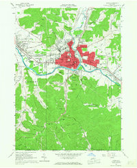
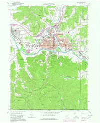
Editions of this 1961 Olean Map
Other maps of this area

1898 · Olean
USGS Topo · 1:62,500

1900 · Salamanca
USGS Topo · 1:62,500

1924 · Bradford
USGS Topo · 1:62,500

1926 · Bradford
USGS Topo · 1:62,500

1933 · Smethport
USGS Topo · 1:62,500

1937 · Smethport
USGS Topo · 1:62,500

1938 · Salamanca
USGS Topo · 1:62,500

1938 · Olean
USGS Topo · 1:62,500

1941 · Bradford
USGS Topo · 1:62,500

1943 · Olean
USGS Topo · 1:62,500